
What is recorded here
Knackannavea rises to approximately 300 metres and is part of the broader Slieve Foyne range, which forms a natural boundary between Counties Dublin and Meath. Its geology reflects the Carboniferous limestone typical of the region, and while it lacks prominent folklore, its location has historical significance in early land division and local topography.
Places near here
 CairnCairn, unclassified · 265 yd
 Stone CircleCairn, unclassified · 689 yd
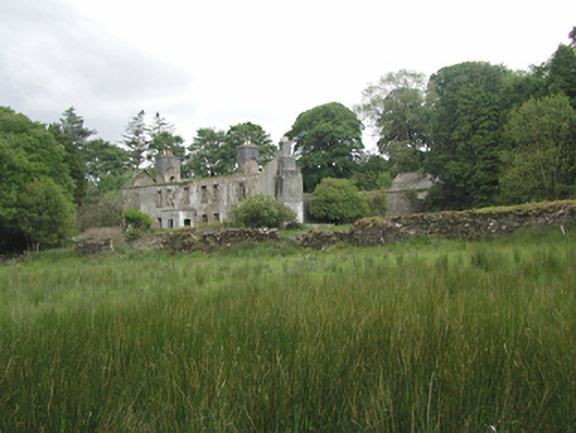 Ballinascorney Househunting/fishing lodge · 1.0 mi
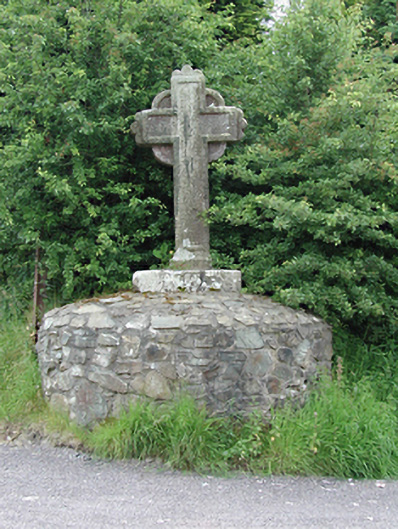 monumentmonument · 1.0 mi
 Verschoyle's HillMountain / peak · 1.2 mi
 Graveyard in BallymanaGraveyard · 1.2 mi
 SlievenabawnogeMountain / peak · 1.4 mi
 Ballinascorney WoodForest · 1.4 mi
 CastleCastle, tower house · 2.4 mi
 Rathcoole WoodlandWood · 2.8 mi
 Saint Ann's WellSpring · 2.9 mi
 Meadow WildlifeVisitor information · 2.9 mi
Other information
Photo: Credit not shown in the picture search · Rights wording not checked; contact us if this picture should be removed