What is recorded here
A disused road bridge (Wth 7.6m; long axis NW-SE) spanning the Silhernane stream. It is very overgrown and difficult to access. The single segmental arch has cut-stone voussoirs. Only the NW parapet survives and is of random rubble with concrete coping.
Compiled by: Elizabeth Byrne, Ursula Egan and Sheila Ronan, Archaeological Survey Unit, University College, Cork.
Date of upload: 31 January 2011
The monument record does not grant public access. Check the route and ask the landowner before entering private land.
- What survives
- Recorded monument
Places near here
 SheepfoldEnclosure · 606 yd
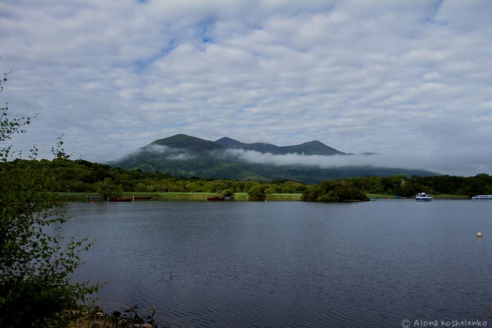 Clydagh Br.Bridge · 1500 yd
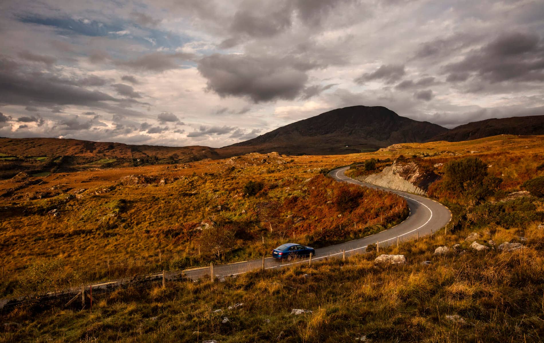 RoadRoad, road/trackway · 1.1 mi
 Field boundary in DerrymaclavlodeField boundary · 1.2 mi
 An Cnoc BuíMountain / peak · 1.7 mi
 CoolcurtogaMountain / peak · 1.8 mi
 Cascade WoodWood · 5.2 mi
 Castle (Site of)Castle, unclassified · 5.4 mi
 Killaha Castle (in Ruins)Castle, tower house · 5.5 mi
 Sli Gaeltacht MuscraiWalking route · 5.7 mi
 European long distance path E8 - part IrelandWalking route · 6.7 mi
 Hidden Valley Pet FarmHeritage attraction · 7.3 mi