
What is recorded here
Identified and described by Tony Miller as; 'Situated on a south facing slope consisting of heather-clad rough grazing with sweeping views. In a collapsed but stable condition in open terrain. Partially buried beneath turf in places. A c. 1km length of relict field boundary running north-south up a heather clad slope of open moorland. It runs along the western edge of an open storm gully. The walling survives to a maximum height of c.0.8m in places. It is a substantial boundary wall but is not a townland boundary. It is shown on the last 6’’ OS map but not on any of the earlier ones. At its southern end it stops at a boundary at the top of a steep slope. At the northern end it reaches near the foot of Roger’s Rock before turning NW towards another rock outcrop at the top of the slope'.
Compiled by: Caimin O'Brien based on details provided by Tony Miller.
The monument record does not grant public access. Check the route and ask the landowner before entering private land.
- What survives
- Recorded monument
Places near here
 SheepfoldEnclosure · 371 yd
 KilnKiln, lime · 1188 yd
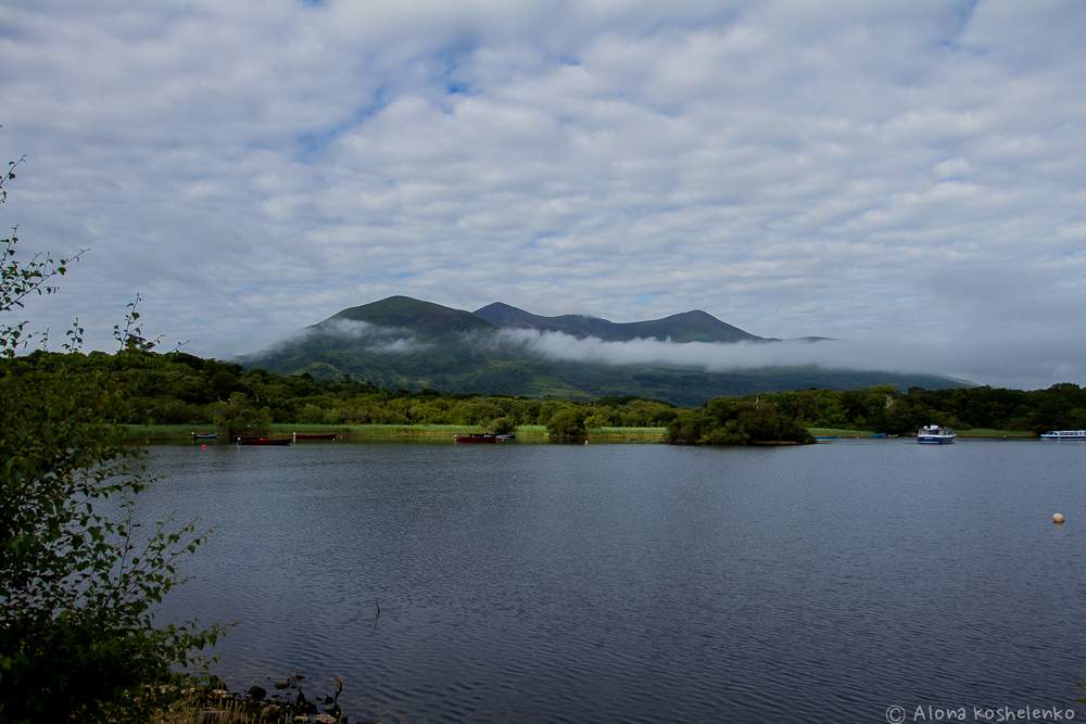 Clydagh Br.Bridge · 1567 yd
 The Paps WestMountain / peak · 1.2 mi
 Enclosure in Annagh MoreEnclosure · 1.3 mi
 The Paps EastMountain / peak · 1.4 mi
 BarraduffMemorial · 4.9 mi
 Killaha Castle (in Ruins)Castle, tower house · 5.0 mi
 Cascade WoodWood · 5.8 mi
 Castle (Site of)Castle, unclassified · 6.0 mi
 Sli Gaeltacht MuscraiWalking route · 6.8 mi
 Nohaval WoodWood · 7.5 mi
Other information
Photo: Credit not shown in the picture search · Rights wording not checked; contact us if this picture should be removed