What is recorded here
This monument is indicated as ‘Kirk’s Togher’ on the 1st and 2nd ed. 6-inch OS map and appears to be the section of road which runs NNW-SSE across a strip of bog, joining two areas of dry land, as clearly depicted on the 1st ed. map. The togher was mistakenly identified as a feature to the NW, which is in fact a stream running NE-SW, parallel to and S of another public road. It is likely that the togher is under the modern road surface.
Compiled by: Jean Farrelly
Date of upload: 15 October 2012
The monument record does not grant public access. Check the route and ask the landowner before entering private land.
- What survives
- Recorded monument
Places near here
 IndicatedEnclosure · 584 yd
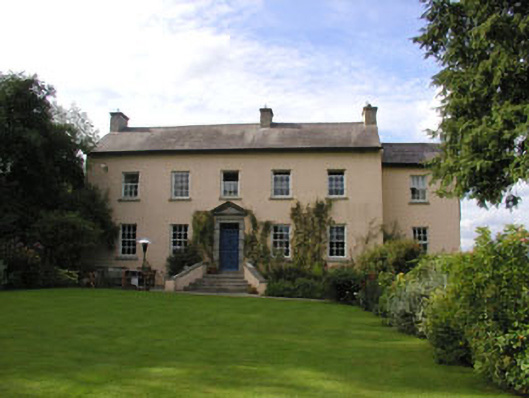 Coolboy Househouse · 1092 yd
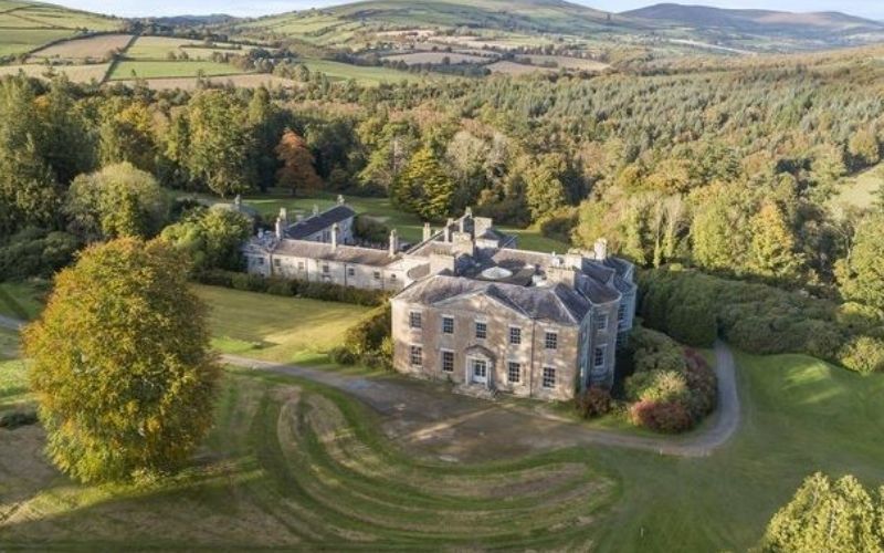 Enclosure in Coolafancy,raheenglassEnclosure · 1407 yd
 Drimingall WoodForest · 1489 yd
 Breen's GroveWood · 1.3 mi
 Church in Kilcavan UpperChurch · 1.5 mi
 1798 MemorialMemorial · 3.3 mi
 Ballynultagh HillMountain / peak · 3.7 mi
 Annagh HillMountain / peak · 3.7 mi
 (Site of) Raymond CastleCastle, unclassified · 3.8 mi
 Saint Brigid's WellSpring · 4.5 mi
 1798 Lacey Brothers MemorialMemorial · 5.3 mi