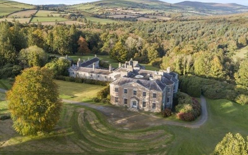
What is recorded here
Notified (6-1-2023) by Ms Faith Bailey. Visible in tillage on Google Earth aerial imagery (July 2021) as the cropmark of a large oval enclosure (est. diams. c. 85m NE-SW; c. 67m). The N-S townland boundary recorded on OS historic mapping (separating Raheenglass to W from Coolafancy to E) ran over the W sector of the monument but has been removed.
See attached image: WI043-032001_.JPG Snip from Google Earth aerial imagery, July 2021.
Compiled by: Gearóid Conroy
Date of upload: 10 January 2023
A local fairy fort (ringfort/rath); wider significance not recorded.
This remains an important historical record, but the official description says the monument is no longer visible or has been destroyed. The monument record does not grant public access. Check the route and ask the landowner before entering private land.
- What survives
- No visible remains or recorded as destroyed
Places near here
 Enclosure in CoolafancyEnclosure · 166 yd
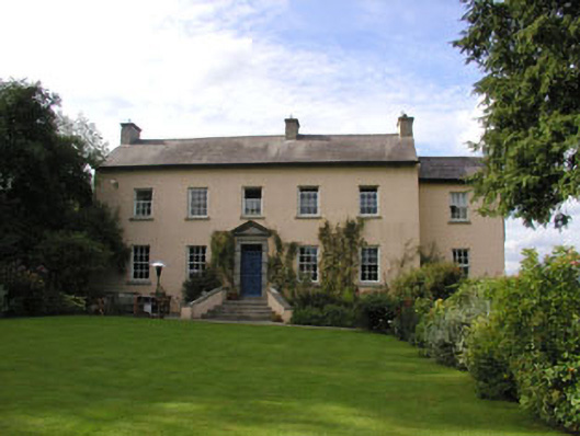 Coolboy Househouse · 1345 yd
 Ch., Grave Yd.Church · 1437 yd
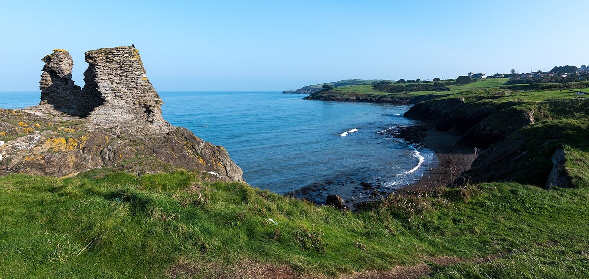 Enclosure in CoolroeEnclosure · 1.0 mi
 Drimingall WoodForest · 1.5 mi
 Breen's GroveWood · 2.0 mi
 1798 MemorialMemorial · 2.5 mi
 Annagh HillMountain / peak · 3.1 mi
 (Site of) Raymond CastleCastle, unclassified · 3.1 mi
 Ballythomas HillMountain / peak · 3.8 mi
 1798 Lacey Brothers MemorialMemorial · 4.6 mi
 Saint Brigid's WellSpring · 4.9 mi
Other information
Photo: Credit not shown in the picture search · Rights wording not checked; contact us if this picture should be removed