What is recorded here
Located at the outer edge of a shelf towards the bottom of the NE-facing slope of a drumlin. Two stone uprights, roughly aligned N-S, are placed 0.35m apart. The N stone (dims 0.4m x 0.35m; H 1.5m) is oriented NE-SW and the S stone (dims 0.6m x 0.45m; H 1.35m) is oriented NNE-SSW. It was reputed to be the burial place of a king who died in combat with another at the hill called Mullach an Dá Rí – the hill of the two kings as recorded by John O’Donovan in the 1830s (Herity 2012, 398; Borlase 1897, vol. 1, 195).
The above description is derived from 'The Archaeological Inventory of County Leitrim' compiled by Michael J. Moore (Dublin: Stationery Office, 2003). In certain instances the entries have been revised and updated in the light of recent research.
Compiled by: Michael Moore
Date of revised upload: 14 October 2019
Likely dating to the Neolithic or Bronze Age, the Kings Grave at Clooncorick may have functioned as a burial or ritual monument, with its alignment and positioning possibly reflecting astronomical or ceremonial significance. The name suggests a local tradition or folklore associating the site with a figure of importance.
The monument record does not grant public access. Check the route and ask the landowner before entering private land.
- What survives
- Recorded monument
Places near here
 King's GraveArchaeological place · 20 yd
 Mass-rock in Annagh (carrigallen By.)Mass-rock · 83 yd
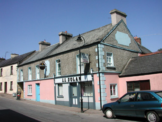 J.J. Dolanhouse · 1367 yd
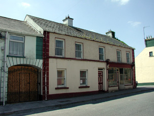 Devereuxhouse · 1377 yd
 European YewEuropean Yew · 1.2 mi
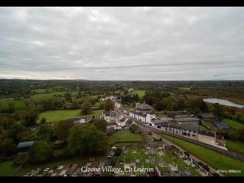 Enclosure in DrumhalryEnclosure · 1.3 mi
 Pedunculate OakPedunculate Oak · 1.3 mi
 DrumbreanlisMountain / peak · 1.7 mi
 DrummuckerMountain / peak · 2.4 mi
 Crane IslandIslet · 4.5 mi
 BatteryBawn · 4.5 mi
 Swan Island pet farmHeritage attraction · 4.5 mi