What is recorded here
Kilroe Burial Ground occupies a subrectangular stone-walled area in County Cork where the southern and western boundary still curves around the hidden arc of an older ringfort. The site has continued receiving the dead since at least 1823, extending beyond its circular roots while preserving the ancient line beneath new graves. A parish church once stood in the southeast corner according to local tradition, though no vestige remains to mark the exact footprint of its walls.
Shown on 1842 and 1905 OS 6-inch maps as roughly circular enclosure (see ringfort 12565) and named 'Kilroe Grave Yard' and 'Kilroe Burial Gd.' respectively; shown on 1937 OS 6-inch map as altered and extended to almost rectangular shape (c. 50m NW-SE; c. 40m NE-SW) retaining arc of ringfort S->W; lane (L c. 300m) shown on 1905 and 1937 OS 6-inch maps accessing burial ground from road to NW. Subrectangular area enclosed by stone wall; wall on SW side curves to follow line of circular enclosure. Still in use; earliest grave marker noted dated 1823. According to Bowman (1934, 523), site of Kilroe parish church in SE corner but 'not a vestige of the building now remains'. Holy well (13997) c. 180m to S.
The above description is derived from the published 'Archaeological Inventory of County Cork. Volume 4: North Cork' (Dublin: Stationery Office, 2000). In certain instances the entries have been revised and updated in the light of recent research.
Date of upload/revision: 14 January 2009
The monument record does not grant public access. Check the route and ask the landowner before entering private land.
- What survives
- Recorded monument
Places near here
 IndicatedFairy fort / earthen ringfort · 1 yd
 Spring GroveCountry house · 595 yd
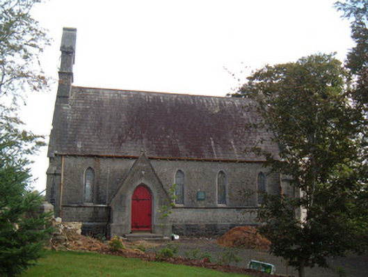 Saint Peter's Church (Clonfert)church/chapel · 981 yd
 Burial ground in Curragh (duhallow By., Clonfert Par.)Burial ground · 1029 yd
 Hanna SheehyMemorial · 1288 yd
 Kanturk CastleHeritage attraction · 1.3 mi
 Ballyheen Castle (Site of)Castle, unclassified · 1.9 mi
 Burial ground in AssolasBurial ground · 2.1 mi
 European YewEuropean Yew · 2.4 mi
 CastleCastle, unclassified · 2.8 mi
 St Fursey's WellSpring · 3.2 mi
 Stanner's Glen, Priory WoodWood · 4.0 mi