
What is recorded here
Map note: There is a map point for Kilpatrick Fort, an ancient site in County Westmeath, Ireland. There is no need to invent a lost kingdom to make the name interesting.
Double Ramparts
From OpenStreetMap (© OpenStreetMap contributors) w921093973
Places near here
Photo credits
- National Inventory of Architectural Heritage
- Royalcanalrunner, Wikimedia Commons · CC BY-SA 4.0
- Kieran Campbell, Geograph · CC BY-SA 2.0
- Stephan van Helden, Wikimedia Commons · CC BY-SA 4.0
- Abi Skipp, Wikimedia Commons · CC BY 2.0
- Maker named on the Wikimedia Commons picture page · CC BY-SA 2.5
- Jamesco101, Wikimedia Commons · CC BY-SA 4.0
 Cartron HouseHouse · 1446 yd
 29th LockLock keeper's house · 1.0 mi
 Kildallan BridgeBridge · 1.0 mi
 Glascarn HouseHouse · 1.1 mi
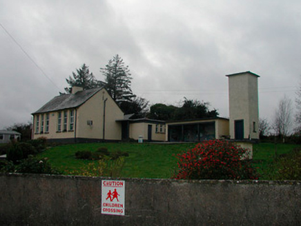 Sonna National SchoolSchool · 1.2 mi
 gates/railings/walls1.2 mi
 P. GunningHouse · 1.4 mi
 WestmeathVisitor information · 1.5 mi
 Horse-chestnut4.0 mi
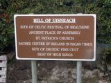 Hill of UisneachMountain / peak · 4.6 mi
 Sessile Oak6.3 mi
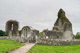 Abbeyshrule AbbeyRuins · 7.0 mi
More archaeology and monuments in County Westmeath · All of County Westmeath

What do you know about this place?Tap to add a comment or ask a question