What is recorded here
Situated on a steep NE-facing slope. Referred to in the Civil Survey 1654-6 as 'a standing church ' (Simington 1934, vol. 2, 237). A poorly preserved rectangular church (dims. c. 7.4m N-S; 18.6m E-W) in the NW sector of a graveyard (TN027-071002). The W end consists of rubble wall with concrete facing internally. Only the foundations survive along the N and E. The church was built into the hillslope, dropping down on the N side. According to the OS Letters (O'Flanagan 1930, vol. 1, 191) there was a doorway (H 1.8m; Wth c. 1m) in the W end of the N wall (T c. 1m), constructed of 'chiselled limestone'.
The above description is derived from 'The Archaeological Inventory of County Tipperary. Vol. 1 - North Tipperary' compiled by Jean Farrelly and Caimin O'Brien (Dublin: Stationery Office, 2002). In certain instances the entries have been revised and updated in the light of recent research.
Date of upload/revision: 22 September 2008
The monument record does not grant public access. Check the route and ask the landowner before entering private land.
- What survives
- Recorded monument
Places near here
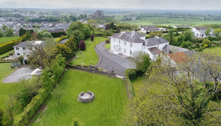 Enclosure in KilnaneaveEnclosure · 842 yd
 LisnarahaCastle, ringwork · 865 yd
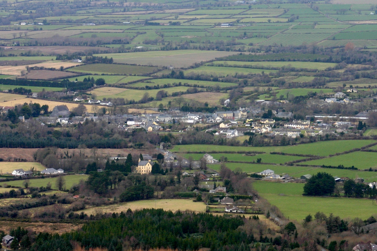 CastleCastle, unclassified · 923 yd
 IndicatedFairy fort / earthen ringfort · 1243 yd
 All Saints Catholic Churchchurch/chapel · 1532 yd
 The Old Rectoryrectory/glebe/vicarage/curate's house · 1.3 mi
 Knockadigeen HillMountain / peak · 1.5 mi
 Ballincurra HillMountain / peak · 1.6 mi
 Killavalla WoodForest · 2.3 mi
 Sweet ChestnutSweet Chestnut · 3.6 mi
 Silvermines ViewpointViewpoint · 4.3 mi
 Our Lady Assumed into HeavenMemorial · 4.6 mi