What is recorded here
Located in lowlying, poorly drained pasture. Circular grass-covered mound (diam. 6m; H 0.8m) with a central hollow (diam. 1.6m; D 0.4m) on top. The mound appears to be of earthen construction. Irises grow in the central depression. It is not shown on the 1837 or 1913 OS 6-inch maps but is shown on the 25-inch plan as a small circle annotated L.K. There is a moated site (SL010-019----) 100m to W.
Compiled by: Jane O’Shaughnessy
Date of upload: 8 November 2013
The monument record does not grant public access. Check the route and ask the landowner before entering private land.
- What survives
- Recorded monument
Places near here
 Enclosure in QuigaboyEnclosure · 20 yd
 Enclosure in QuigabarEnclosure · 189 yd
 Castle FirbisCastle, tower house · 685 yd
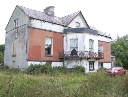 Kilglass Househouse · 1368 yd
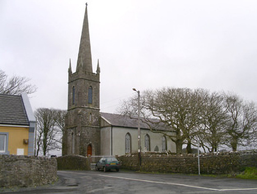 Kilglass Churchchurch/chapel · 1534 yd
 CastleCastle, unclassified · 1.7 mi
 Wild Atlantic Way: Inishcrone PierVisitor information · 2.1 mi
 Rathlee HeadHeadland · 2.6 mi
 Enniscrone BeachBeach / strand · 3.1 mi
 Grave of the Black PigArchaeological place · 3.2 mi
 The Black PigMemorial · 3.2 mi
 Horse IslandIslet · 4.5 mi