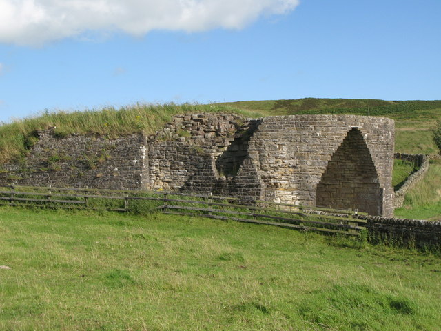
What is recorded here
Annotated ‘L.K.’ on the 1863 edition of the Ordnance Survey 25-inch map where it is depicted as a square-shaped structure adjacent to a disused gravel pit. Not depicted on earlier editions of the OS maps. Woodland plantation in area of limekiln visible on the 2013-18 MapGenie orthoimage.
Compiled by: Caimin O'Brien
Date of Compilation: 26 November 2025
The monument record does not grant public access. Check the route and ask the landowner before entering private land.
- What survives
- Recorded monument
Places near here
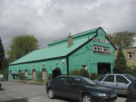 Sureweldfactory · 483 yd
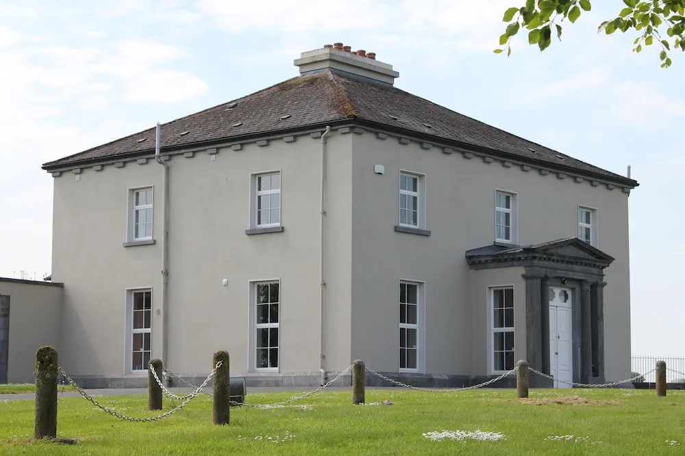 Enclosure in WoodvilleEnclosure · 522 yd
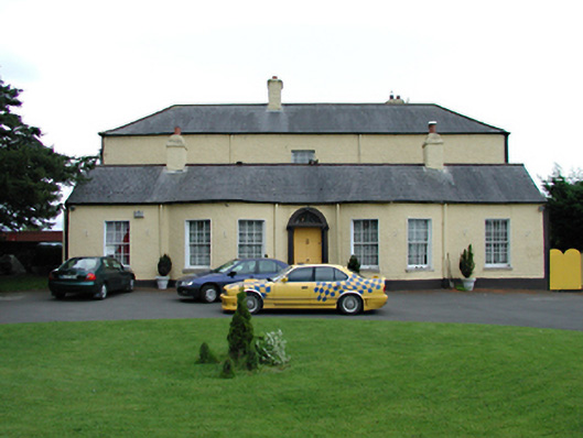 Ballyowen Cottagehouse · 570 yd
 CastleCastle, unclassified · 749 yd
 Fulacht fia in FonthillFulacht fia · 1020 yd
 Rabbit WarrenWood · 1113 yd
 Giant SequoiaGiant Sequoia · 1242 yd
 Castle (in ruins)Castle, tower house · 1638 yd
 The Pirate ShipHeritage attraction · 1.2 mi
 Helter SkelterHeritage attraction · 1.2 mi
 Griffeen Valley WalkWalking route · 1.4 mi
 Church, GraveyardChurch · 1.8 mi
Other information
Photo: Credit not shown in the picture search · Rights wording not checked; contact us if this picture should be removed