What is recorded here
On a low ridge (long-axis c. N-S), in improved pasture, overlooking a low-lying, gently undulating landscape. Depicted on the 25-inch OS map as a small mound and named ‘Lime Kiln (Disused).’ It remained depicted as a mound but unnamed on the 1921 edition of the OS 6-inch map. Not visible at ground level. This feature is most likely to have been associated with the lime kiln. Faint traces of a levelled, linear bank to E and N correspond to two field boundaries at this location, which are depicted on all OS historic mapping.
Compiled by: Mary Tunney, Alison McQueen and Vera Rahilly
Date of upload: 19 June 2018
The monument record does not grant public access. Check the route and ask the landowner before entering private land.
- What survives
- Recorded monument
Places near here
 Enclosure in Cloghaun (tulla Upper By.)Enclosure · 779 yd
 IndicatedCastle, tower house · 812 yd
 Enclosure in GarruraghEnclosure · 957 yd
 St Mochullas Ch (in RuinsChurch · 1189 yd
 Tulla Castle (Site of)Castle, unclassified · 1208 yd
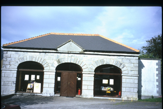 Tulla Librarymarket house · 1330 yd
 The StablesGallery · 1.0 mi
 Cloghleagh RockNamed rock · 3.6 mi
 The RingfortHeritage attraction · 4.8 mi
 Deerpark WoodForest · 5.3 mi
 Calluragh WoodForest · 5.8 mi
 Grave YardGraveyard · 1186 yd