
What is recorded here
In gently undulating wet pasture. The site is located on the NE side of a NW-SE running natural ridge facing a valley on the NE side of the ridge. All that remains is a horseshoe shaped depression (10m N-S; 11m E-W; Max. D 1.4m) with the flat side facing the valley. Small right angled portion of stonework (1m NE-SW; 0.4m NW-SE; Th. 0.4m) protrudes from crest of ridge to W of depression.
Compiled by: Denis Power
Date of upload: 26 August 2011
The monument record does not grant public access. Check the route and ask the landowner before entering private land.
- What survives
- Recorded monument
Places near here
 Enclosure in FeohanaghEnclosure · 331 yd
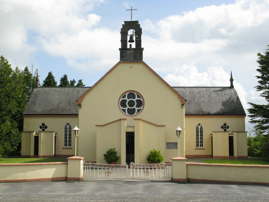 Saint Mary's Catholic Churchchurch/chapel · 1.1 mi
 Church in AppletownChurch · 1.1 mi
 Mound in Killeen (glenquin By.)Mound · 1.2 mi
 ToberhoranSpring · 1.2 mi
 Castle (in ruins), Springfield CastleCastle, tower house · 1.6 mi
 Mayne Ho.Castle, unclassified · 2.5 mi
 Garbally WellSpring · 2.7 mi
 National Co-op MuseumMuseum · 3.3 mi
 Ballagh MountainMountain / peak · 5.2 mi
 Mullaghareirk - Banane LoopWalking route · 5.9 mi
 Rock HillMountain / peak · 7.9 mi
Other information
Photo: Credit not shown in the picture search · Rights wording not checked; contact us if this picture should be removed