What is recorded here
Situated on the lower reaches of the N-S Cloone River, also known as the Lurga River before it enters Lough Rinn. An estate map (Wogan 1750, 22) depicts a ruined lime-kiln close to the river on its W bank between Lough Errew and Lough Rinn. The river is now a narrow channel, and the precise location cannot be identified.
Compiled by Michael Moore
Date of upload: 18 October 2010
Amended: 7 January 2020
The monument record does not grant public access. Check the route and ask the landowner before entering private land.
- What survives
- Recorded monument
Places near here
 Holm OakHolm Oak · 87 yd
 Western HemlockWestern Hemlock · 220 yd
 Druid's AltarArchaeological place · 310 yd
 CastleCastle, tower house · 319 yd
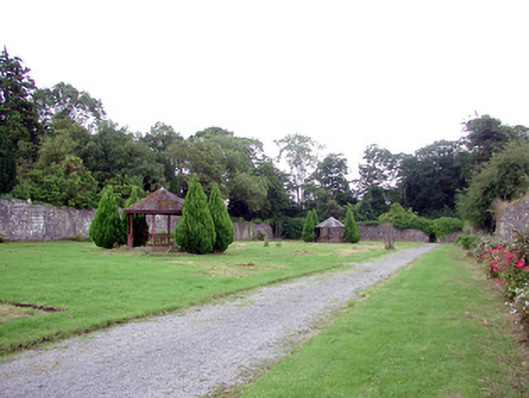 Lough Rynn Housewalled garden · 350 yd
 Duck IslandIslet · 830 yd
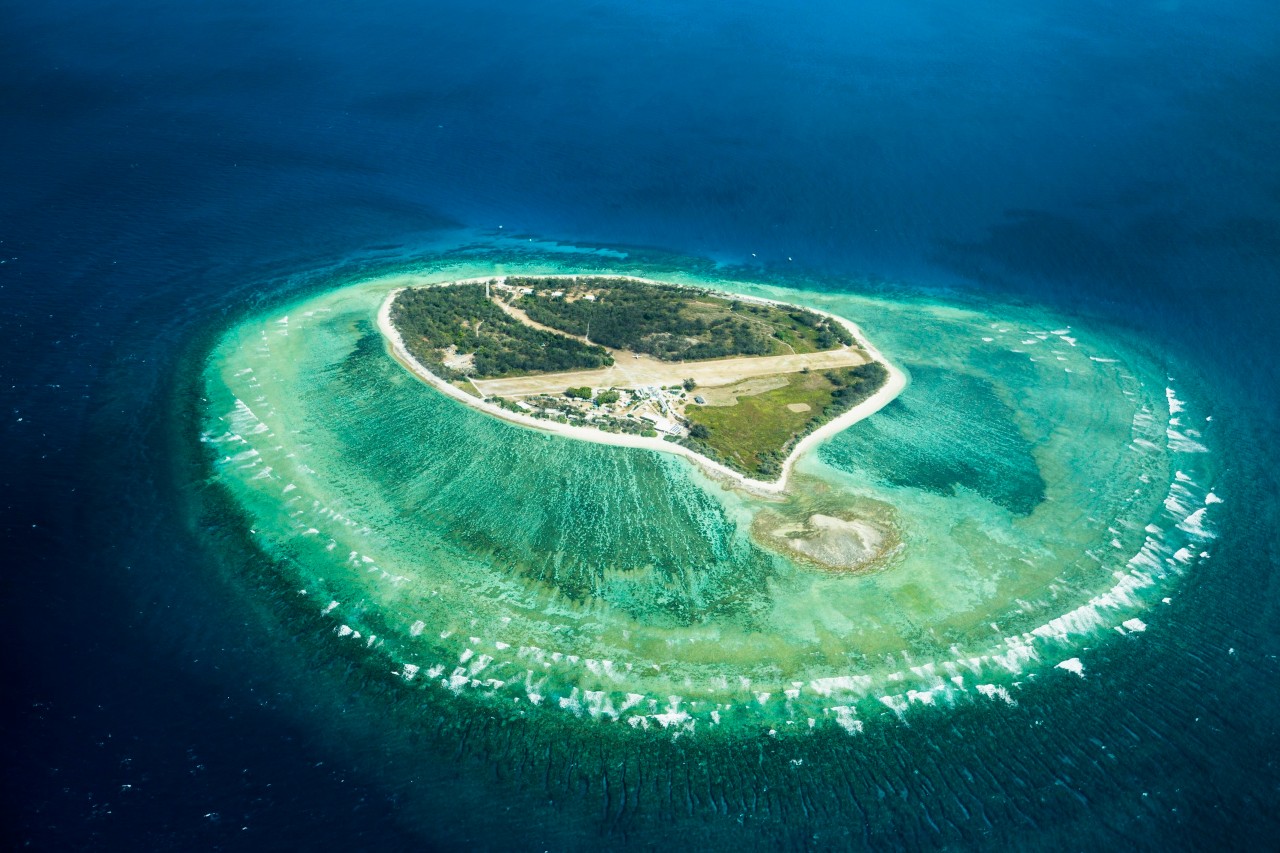 Lady Elizabeth's IslandIslet · 860 yd
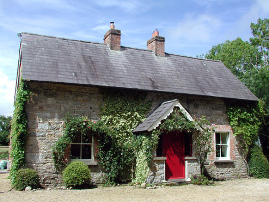 Errew Cottageworker's house · 1156 yd
 Holy WellHoly well · 1167 yd
 Giant's GraveArchaeological place · 1.3 mi
 OratoryCastle, tower house · 1.6 mi
 Turlough O'Carolan MonumentHeritage attraction · 2.2 mi