What is recorded here
Not listed in either the SMR (1989) or RMP (1995). In upland rocky pasture, immediately SSW of a court tomb (SL031-040----) and built against the natural scarp that forms the S edge of the terrace on which the court tomb is sited. A small ruined and roofless circular, stone-built structure (int. diam. 1.5m) that is built into the natural slope. The interior is defined N-NW by a drystone wall (H 0.65m; T 0.9m) and NW-N, where recessed into the slope, by a stone-faced scarp (H 0.9m). A possible opening at E is obscured by rubble. This is probably post-1700 AD in date.
Compiled by: Archaeological Survey Unit, UCC
Date of upload: 11 January 2012
The monument record does not grant public access. Check the route and ask the landowner before entering private land.
- What survives
- Recorded monument
Places near here
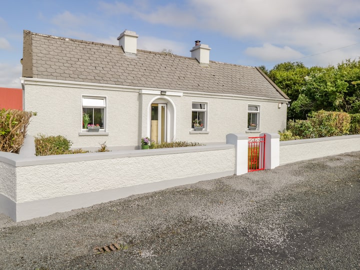 Dermot & Grania's BedArchaeological place · 20 yd
 Castle Carragh in RuinsCastle, unclassified · 139 yd
 Carrick WoodWood · 1.3 mi
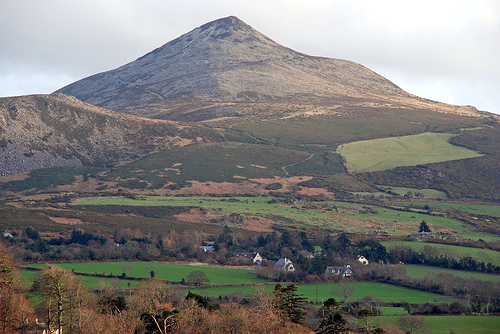 ToberaraghtHoly well · 1.5 mi
 New WoodWood · 1.8 mi
 Mass RockNamed rock · 2.2 mi
 Saint Attracta's Catholic Churchchurch/chapel · 2.4 mi
 Lough Talt TrailVisitor information · 2.4 mi
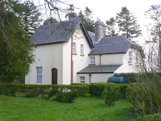 Shooting Lodgehunting/fishing lodge · 2.8 mi
 Castle (Site of)Castle, unclassified · 3.0 mi
 Largan HillMountain / peak · 3.6 mi
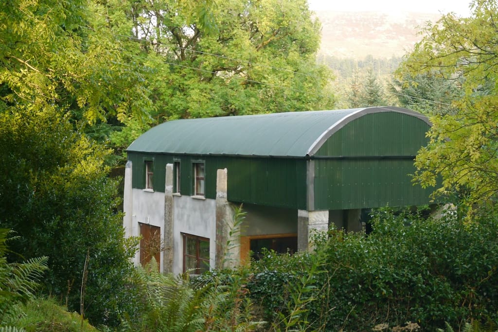 CloonacoolMountain / peak · 3.9 mi