What is recorded here
In rough, coastal pasture, built into the scarp on the N side of a trackway. Not marked on the 1837 or 1913 editions of the OS 6-inch map. Ruined vernacular limekiln consisting of a roughly circular, stone-built structure (int. diam. c. 1-1.2m E–W; wall H 0.8m), roofless and open to N. Not listed in the SMR (1989) or RMP (1995). This is a post-1700 structure.
Compiled by: Patrick F. O'Donovan
Date of upload: 31 July 2012
The monument record does not grant public access. Check the route and ask the landowner before entering private land.
- What survives
- Recorded monument
Places near here
 IndicatedFairy fort / earthen ringfort · 894 yd
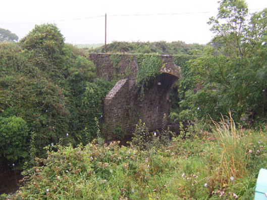 Donaghintraine Bridgebridge · 1426 yd
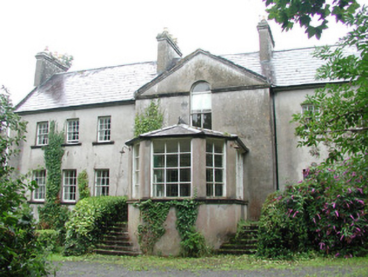 Doonycoycountry house · 1474 yd
 DonaghHeadland · 1475 yd
 Man-made underground passage in BallyeeskeenMan-made underground passage · 1598 yd
 Site of Dunneill CastleCastle, unclassified · 1.4 mi
 CastleCastle, tower house · 1.7 mi
 Aughris HeadHeadland · 3.1 mi
 Aughris BeachBeach / strand · 3.7 mi
 Dunmoran StrandBeach / strand · 4.5 mi
 Jim Smith MemorialMemorial · 4.7 mi
 Wild Atlantic Way: Easky PierVisitor information · 5.2 mi