What is recorded here
Located c. 10m N of Staad Abbey church (SL005-022001-), in an area of lowlying coastal pasture, bordering a cobble beach. This bowl-shaped, stone-lined pit is exposed in section in the land-edge cliff (H c. 2m) bordering the cobble beach. It was record in 2000 during archaeological investigation (licence no. 00E0235) at Staad Abbey, and at that date measured c. 2.5m in diameter and 1-1.5m in depth (McCormick and O’Sullivan et al. 2000, 21-23). The base of the pit contains fire-reddened material overlain by lime residue, which points to its function as a lime roasting clamp for the production of mortar. These basal fills are overlain by redeposited stony soil, used to backfill the pit when it fell out of use. The position of the pit in the stratigraphy of the cliff face suggests that the pit belongs to a late medieval phase of activity at the site, and may be associated with the construction of the church (SL005-022001-) (Ibid., 27). The cliff face continues to recede due to erosion, but remnants of the pit are still visible.
Compiled by: Jane O'Shaughnessy
Date of upload: 3 July 2017
The monument record does not grant public access. Check the route and ask the landowner before entering private land.
- What survives
- Recorded monument
Places near here
 StructureStructure, peatland · 32 yd
 Enclosure in AgharrowEnclosure · 43 yd
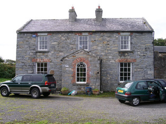 Streedagh Househouse · 734 yd
 de Cuellar Armada MonumentMemorial · 859 yd
 Streedagh BeachVisitor information · 1.0 mi
 Atlantic SheepdogsHeritage attraction · 1.1 mi
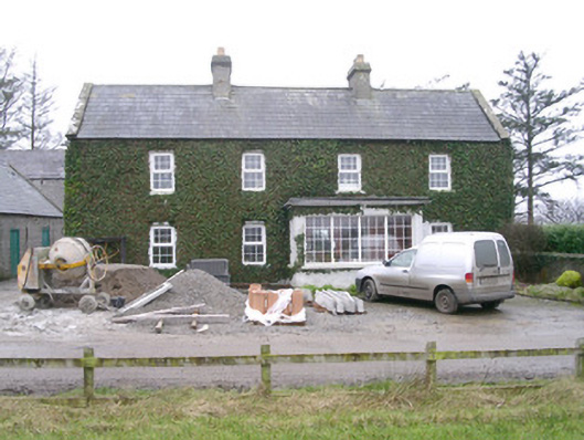 Ivy Househouse · 1.7 mi
 InishnagorIslet · 1.9 mi
 CastleCastle, unclassified · 1.9 mi
 Upperglen WoodForest · 2.1 mi
 Forester's WoodForest · 2.4 mi
 Bawn in DoonforeBawn · 2.5 mi