What is recorded here
Kiln in Rath (ratoath By., Cookstown Par.) was a Bronze Age to Iron Age workshop on a south-west slope where heat, clay and charcoal still mark the soil. Pits, a flue-like extension, metalled surfaces and a bowl furnace suggest people made or tested things that needed fire, while nearby grain storage and ditches imply the work mattered enough to protect. The dates stretch from about 1050-840 cal. BC to 50 cal. BC-80 cal. AD, meaning the place may have passed through generations of makers, not a single event.
Situated on a SW-facing slope. Archaeological excavation (03E1214) by H. Schweitzer between March and October 2004 in advance of the northern section of the N2 by-pass around Ashbourne on site 27 involved the complete excavation of six areas numbered from the S. Features recorded in Areas 3 and 4 included drains that might represent elements of a field system (ME039-012002-) but pits and metalled surfaces probably represent some industrial activity (Schweitzer 2009, 20).
A large pit (dims 2.86m x 2.03m; max. D 0.33m) has a slight extension like the remnants of a flue, on the SE side. Oxidisation of the subsoil had occurred and its charcoal rich fill also contained heat-shattered stones and produce a C14 date of 1050-840 cal. BC. A shallow pit (dims 2.96m x 2.25m; D 0.3m) c. 2m to the S is interpreted as a grain-storage structure and had a roughly cobbled floor and four large corner post-holes (ibid. 21). About 20m S of the kiln a hearth produced a C14 date of 800-520 cal. BC. Activity continued into the Iron Age as just to the E of this hearth there were a number of pits filled with silty clays forming a rough rectangle (dims 1.9m x 1.6m), and a bowl furnace was found c. 2m further E. Its charcoal content produced a C14 date of 50 Cal. BC-80 Cal. AD. A rectangular pit (dims 2.25m x 0.75m; D 0.25m) just N of the hearth is interpreted as a kiln (ibid. 39), and metalled surfaces, hearths, and small water-holes in the area are thought to be related (ibid. 40-2). The industrial area is contained within narrow ditches to the N (Wth c. 0.7m; D c. 0.4m) and W (D c. 0.1m) that seem to enclose it or at least separate it from the open areas (ibid. 39-40).
Compiled by: Michael Moore
Date of upload: 3 March 2021
The monument record does not grant public access. Check the route and ask the landowner before entering private land.
- What survives
- Recorded monument
Places near here
 Enclosure in Rath (ratoath By., Cookstown Par.)Enclosure · 412 yd
 Enclosure in Cookstown (ratoath By., Cookstown Par.)Enclosure · 1127 yd
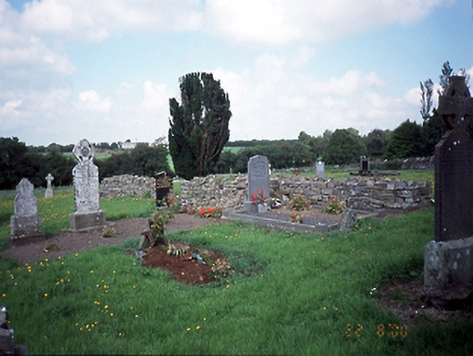 graveyard/cemeterygraveyard/cemetery · 1609 yd
 Water millWater mill, unclassified · 1651 yd
 Bawn in KilleglandBawn · 1.2 mi
 CastleCastle, unclassified · 1.3 mi
 Cornstown HouseHeritage attraction · 1.5 mi
 Newtown HillMountain / peak · 2.2 mi
 Emerald ParkHeritage attraction · 2.2 mi
 Lemur WoodWood · 2.3 mi
 AshbourneMemorial · 2.4 mi
 Newtown GorseWood · 2.7 mi