What is recorded here
On ground sloping gently to S, in gently undulating terrain, under pasture. A D-shaped pit (dims. 0.6m x 0.45m; D 0.24m), excavated (Excavation number E00455) by Doody (1992, 43; 2007, 35) has been tentatively interpreted by the excavator as a kiln-type structure, despite the lack of charred plant remains normally associated with corn-drying or lack of metal or pottery production waste (ibid. 35). The pit sloped to a flat base with charcoal enriched fill and occasional heat-shattered stones and a stone floor was set into the base of the kiln (ibid.). A channel (dims. 0.9m x 0.28m; D 0.16m), interpreted as a flue, extended from the SE of the pit and was U-shaped in profile with slightly splayed sides sloping to a flat base (ibid.). Structure similar to kilns of the early medieval period (ibid.) and does not appear to be related to any other excavated feature (TS087-007---- to TS087-007011-).
Compiled by: Jean Farrelly
Date of upload: 20 November 2013
The monument record does not grant public access. Check the route and ask the landowner before entering private land.
- What survives
- Recorded monument
Places near here
 Enclosure in Burges WestEnclosure · 1319 yd
 Enclosure in KilroeEnclosure · 1321 yd
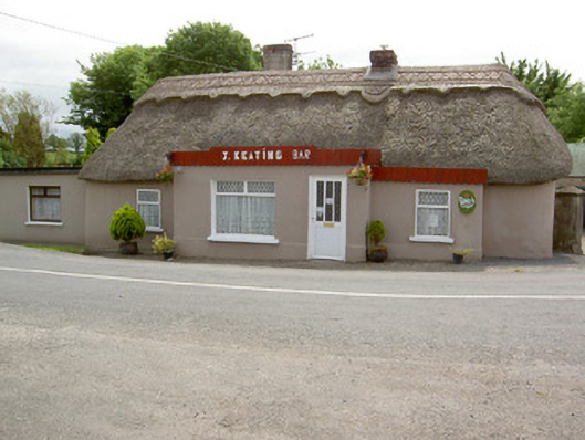 J. Keatinghouse · 1.0 mi
 Catholic Church of Our Lady and Saint Kieranchurch/chapel · 1.0 mi
 Knockane Castle ruinsCastle · 1.3 mi
 CastleCastle, motte · 1.6 mi
 Sweet ChestnutSweet Chestnut · 2.7 mi
 Rehill WoodForest · 2.7 mi
 Woodcock HillMountain / peak · 4.1 mi
 The VeeViewpoint · 4.2 mi
 Grubb’s GraveMemorial · 4.3 mi
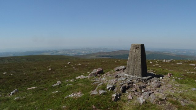 KnockshanahullionMountain / peak · 4.6 mi