What is recorded here
At the base of an E-facing slope of low ridge running roughly N-S. Field under tillage. No visible trace at ground level. This kiln was excavated in 1986 and consisted of 'the side walls of a partly destroyed, keyhole-shaped corn-drying kiln, maximum dimensions 6.60m long and 1.30m wide. An area of rough pebble paving was revealed at the entrance area of the drafting flue which had a clearly defined 'fire-bowl'. Remains of charred cereal grain were retrieved from the fill of the circular drying chamber...There were no other features or finds' (O'Donnell 1987, 33). A full description of the excavation is published (Gowen 1988, 158-62).
Compiled by: Jean Farrelly
Date of upload: 26 August 2011
This remains an important historical record, but the official description says the monument is no longer visible or has been destroyed. The monument record does not grant public access. Check the route and ask the landowner before entering private land.
- What survives
- No visible remains or recorded as destroyed
Places near here
 Enclosure in BallynarahaEnclosure · 860 yd
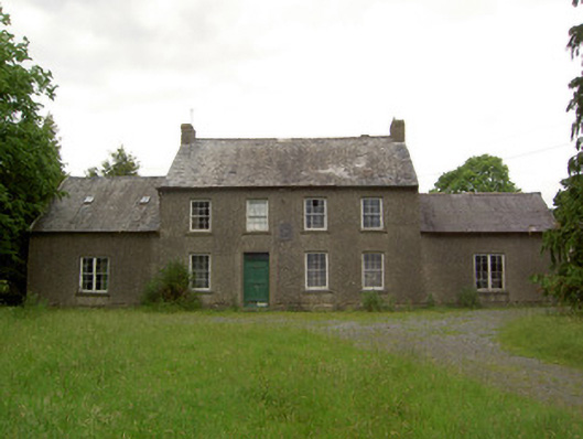 Mauganstown Housecountry house · 1412 yd
 IndicatedHoly well · 1470 yd
 Glen Castle (in ruins)Castle, tower house · 1.1 mi
 Castle (in ruins)Castle, tower house · 1.1 mi
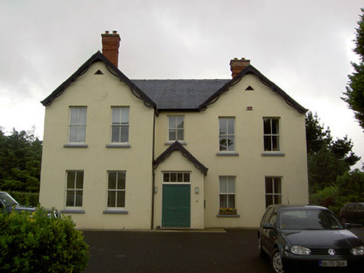 Clashaniska Househouse · 1.2 mi
 Pedunculate OakPedunculate Oak · 1.5 mi
 Garden of RenewalNature reserve · 1.7 mi
 Maurice DavinMemorial · 1.9 mi
 CarrigcoumMountain / peak · 2.1 mi
 Carrigaloe RockNamed rock · 2.6 mi
 CarrigeenseebohillaMountain / peak · 2.8 mi