What is recorded here
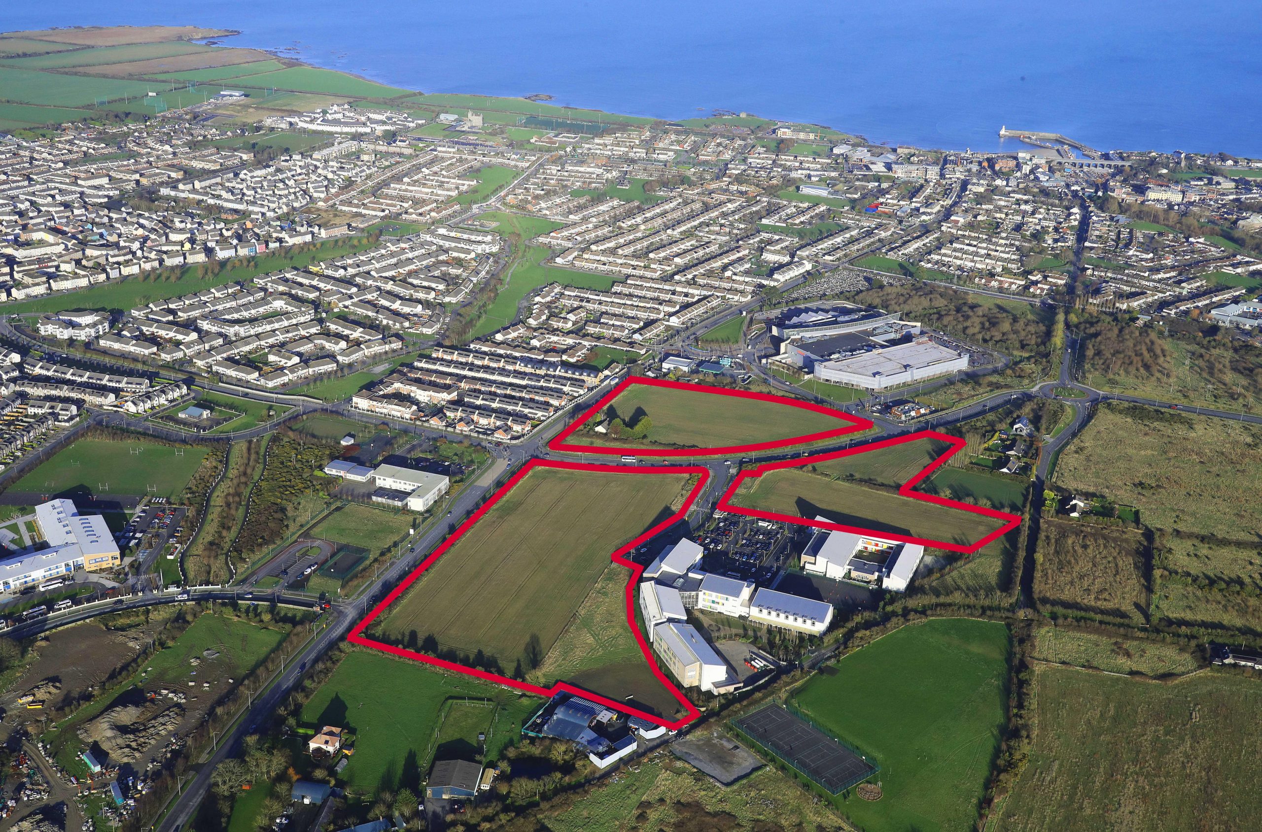
Located 7.3m from the W limit of an early medieval field system (DU005-115001-) this keyhole shaped kiln was excavated in advance of road construction (Licence no. 07E0836EXT). Analysis of the fills identified carbonised oat, barley and wheat grain inclusions. Two flint blades recovered from the fills were dated to the early Mesolithic period and are interpreted as being re-deposited within the kiln. Two postholes were located either side of the kiln bowl, or may have formed a sub-structure associated with the kiln (Kavanagh 2011, 21).
Compiled by: Christine Baker
Date of upload: 2 February 2015
The monument record does not grant public access. Check the route and ask the landowner before entering private land.
- What survives
- Recorded monument
Places near here
 Enclosure in StephenstownEnclosure · 89 yd
 Lady WellHoly well · 177 yd
 Castle (remains of)Castle, tower house · 229 yd
 Chapel in Folkstown LittleChapel · 306 yd
 KilnKiln, corn-drying · 332 yd
 Clonard SpringSpring · 1529 yd
 Balrothery TowerCastle · 1627 yd
 Balrothery Heritage CentreMuseum · 1632 yd
 Balbriggan Tourist OfficeVisitor information · 1684 yd
 Wavin LakesNature reserve · 1.0 mi
 Flat cemetery in DarcystownFlat cemetery · 1.2 mi
 Barn WoodWood · 1.2 mi
Other information
Photo: Credit not shown in the picture search · Rights wording not checked; contact us if this picture should be removed