
What is recorded here
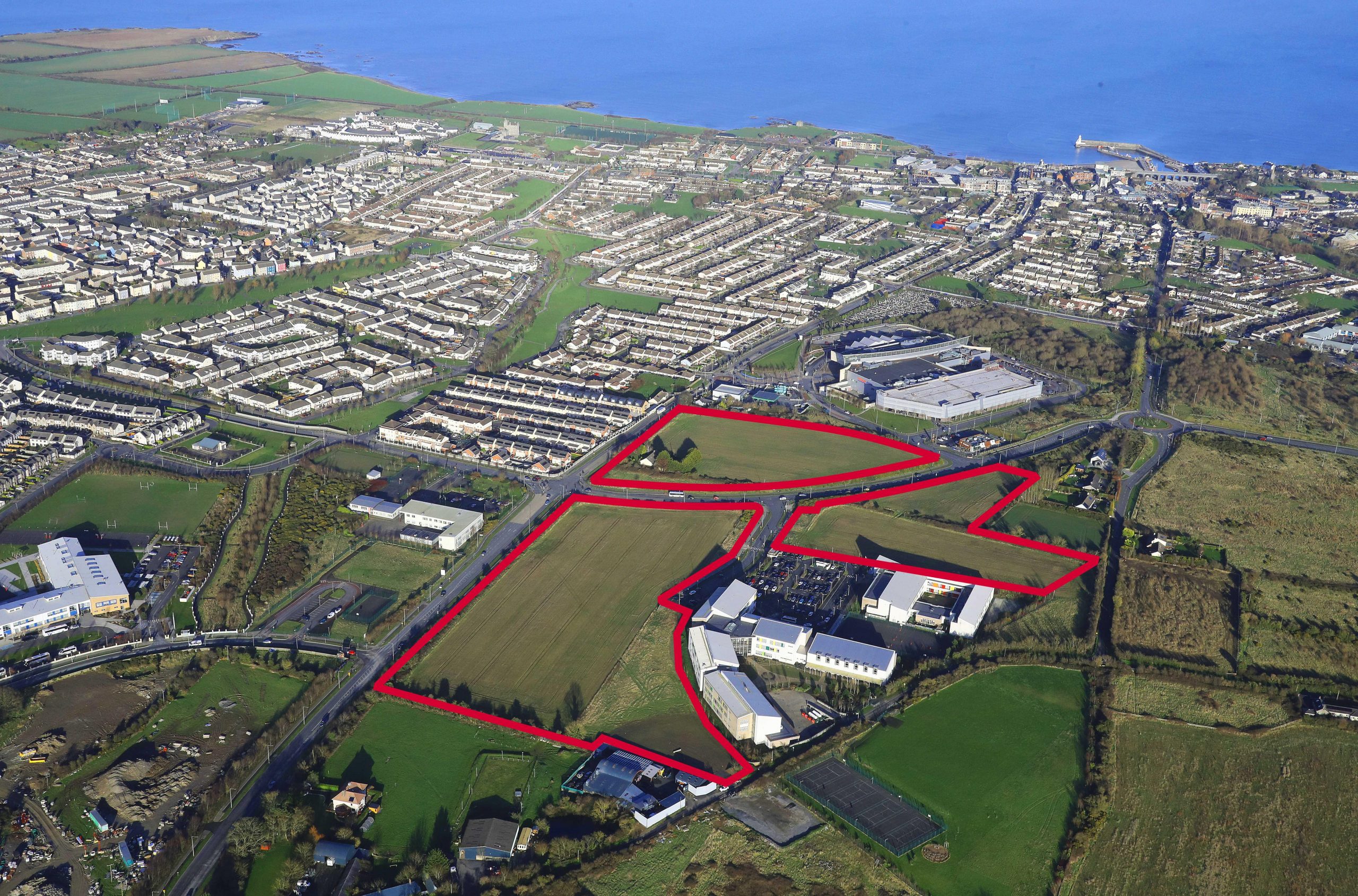
Named 'Site of chapel' on the 1837 ed. OS 6-inch map. Located in field of rough pasture described locally as 'chapel meadow' (Healy 1975, 17). Within field of rough pasture sloping down to stream on south side of which is a tower house (DU005-004----). In the fields immediately to the east an organised medieval settlement including metalled trackway, at least two dry-stone buildings, a number of metalled surfaces, possible wall remains, and cereal drying kilns has been excavated (Long 2010, Kyle 2011). Radiocarbon and ceramic analysis indicate a 13th/14th date. Interpreted by the excavators as a medieval village or hamlet c.420m (NW/SE) and a possible width of c.180m with at least 5/6 medieval structures. Possible Folkstown chapel may have served religious needs of population whom are most likely to have been tenants of de Rosel family (Kyle 2011, 12). Not visible at ground level.
Compiled by: Geraldine Stout
Updated by: Christine Baker
Date of upload: 7 November 2014
The monument record does not grant public access. Check the route and ask the landowner before entering private land.
- What survives
- Recorded monument
Places near here
 Well in StephenstownWell · 136 yd
 KilnKiln, corn-drying · 187 yd
 Enclosure in StephenstownEnclosure · 217 yd
 Castle (remains of)Castle, tower house · 416 yd
 White HartInn · 899 yd
 Clonard SpringSpring · 1336 yd
 Wavin LakesNature reserve · 1693 yd
 Balrothery TowerCastle · 1699 yd
 Balrothery Heritage CentreMuseum · 1706 yd
 Balbriggan Tourist OfficeVisitor information · 1.1 mi
 Flat cemetery in DarcystownFlat cemetery · 1.3 mi
 Barn WoodWood · 1.4 mi
Other information
Photo: Credit not shown in the picture search · Rights wording not checked; contact us if this picture should be removed