What is recorded here
Discovered during archaeological monitoring (Excavation Licence No. 98E0440 ext.). Sub-rectangular in shape (L 4m; max. Wth 1.6m; D 0.5m) with a possible flue at N end, a fire-pit in the centre and a chamber at S end. Constructed of drystone walling. A number of stakeholes and postholes were found to NW of possible flue. (McLoughlin 2000, 213-4)
Compiled by: Claire Breen
Date of upload: 4 May 2012
The monument record does not grant public access. Check the route and ask the landowner before entering private land.
- What survives
- Recorded monument
Places near here
 Enclosure in MullagharlinEnclosure · 289 yd
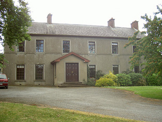 Mullaharlin Househouse · 359 yd
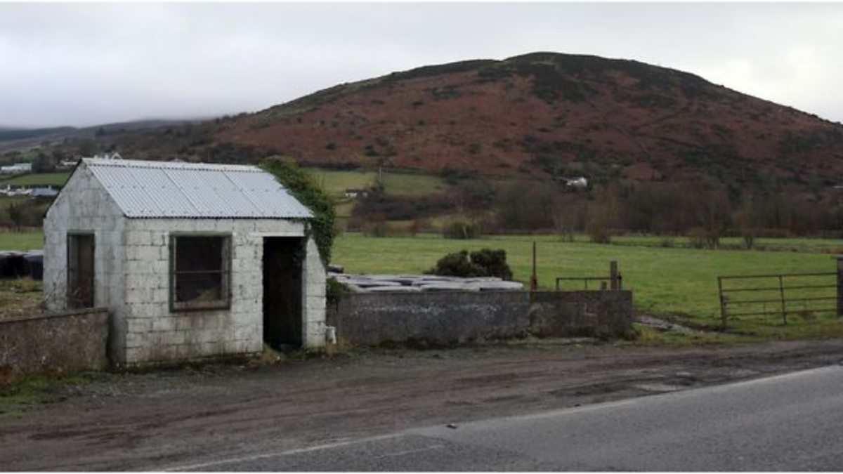 Enclosure in HaggardstownEnclosure · 616 yd
 Dundalk Institute of Technologyfactory · 809 yd
 CastleCastle, unclassified · 1333 yd
 IndicatedCastle, unclassified · 1607 yd
 BallybarrackMountain / peak · 1.4 mi
 Broad WoodForest · 1.6 mi
 Long WoodForest · 1.7 mi
 Photo GalleryHeritage attraction · 1.9 mi
 Dundalk CentralHeritage attraction · 2.0 mi
 Bombing 1975Memorial · 2.0 mi