What is recorded here
Discovered during archaeological monitoring (Excavation Licence No. 99E0683). Initially exposed as a spread of burnt soil. Excavation revealed a keyhole shaped kiln with an overall L of 4.6m. There was a circular bowl at one end (max. diam. 1.1m) and a flue (3.5m x 0.6m) at the other end. Its walls were constructed of layers of local sandstone and limestone and occasional vertical stone slabs. The floor of the flue was composed of thin stone slabs, some of which were heavily fire damaged. The bowl was floored with compact marl laid on natural gravels. The fill of the kiln was complex and it appeared as if the kiln itself was perhaps inserted into a pre-existing field boundary. No diagnostic finds were recovered within the original fill of the kiln. (O' Carroll 2000, 184-5)
Compiled by: Claire Breen
Date of upload: 19 April 2012
The monument record does not grant public access. Check the route and ask the landowner before entering private land.
- What survives
- Recorded monument
Places near here
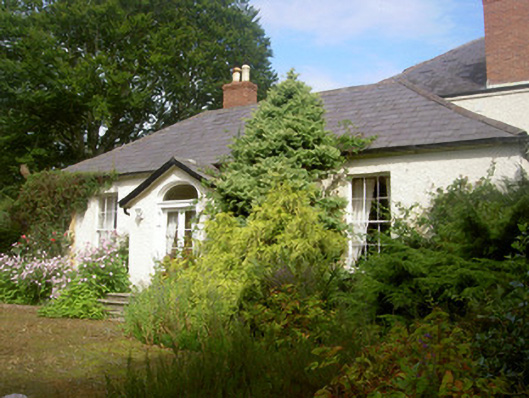 Fairymounthouse · 93 yd
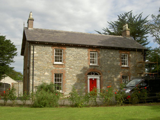 Seafield Househouse · 323 yd
 SundialMonument · 530 yd
 IndicatedCastle, unclassified · 982 yd
 CastleCastle, unclassified · 1246 yd
 Enclosure in HaggardstownEnclosure · 1752 yd
 Broad WoodForest · 1.1 mi
 Long WoodForest · 1.2 mi
 Louth County MuseumMuseum · 3.2 mi
 Bombing 1975Memorial · 3.3 mi
 Maid of ErinMemorial · 3.3 mi
 Photo GalleryHeritage attraction · 3.3 mi