
What is recorded here
Kilmore Burial Ground is a D-shaped oval hidden in elevated forestry, marked by a low scarp and intermittent stone revetment that local people still call Kyle church yard. The sharp rock drop on the north edge and the wide western views suggest the site was chosen to remain visible, even as overgrowth swallowed its boundary. Whatever lives in the soil beneath the vegetation has been there long enough to stop belonging to any single memory.
In elevated area of forestry (14m buffer zone), excellent views W-E. Oval area obscured by overgrowth is defined by scarp (Wth 7.8m; H 1.9m) visible NE-SE and covered by vegetation SE-NE. Intermittent stone revetment (H 0.7m) evident SW-NW. Sharp drop on exterior formed by natural rock outcrop N-NNE. Depicted on current edition OS 6-inch map as D-shaped area (dims. c. 38m N to S; c. 20m E-W). According to local information, known as 'Kyle church yard'.
The monument record does not grant public access. Check the route and ask the landowner before entering private land.
- What survives
- Recorded monument
Places near here
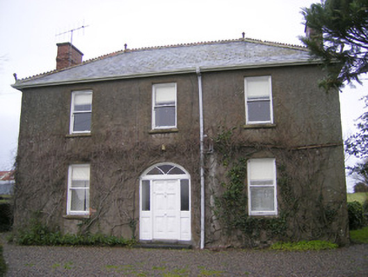 Foxfieldhouse · 776 yd
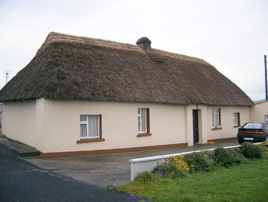 Historic buildingOfficially recorded historic building · 862 yd
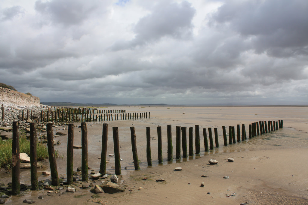 BarrowBarrow, stepped barrow · 1070 yd
 Enclosure in ReaskEnclosure · 1252 yd
 ToberagaddySpring · 1.4 mi
 Kilduff CastleCastle · 1.5 mi
 Kilduff Castle (in ruins)Castle, tower house · 1.5 mi
 KnockseefinMountain / peak · 2.8 mi
 Oola HillMountain / peak · 3.6 mi
 St. Patrick's WellSpring · 5.3 mi
 Flat cemetery in Knockainy WestFlat cemetery · 9.6 mi
 Shandangan Bridgebridge · 999 yd
Other information
Photo: Credit not shown in the picture search · Rights wording not checked; contact us if this picture should be removed