
What is recorded here
In pasture, below crest of ridge on SSE-facing slope. Oval area (72m E-W; 60m N-S) enclosed by substantial earth and stone bank (int. H 1.7m; ext. H 1.8m to base of fosse) with shallow external fosse (D 0.3m); outer bank (ext. H 0.6m) survives SW->N, where incorporated into field boundary system, and N->NNE. Interior slopes down to S; burial ground (14069) in SE quadrant; bullaun stone (13909) inside S bank; Man-made underground passage (13222) in NE quadrant. Second bullaun stone (13910) c. 480m to NE.
The above description is derived from the published 'Archaeological Inventory of County Cork. Volume 4: North Cork' (Dublin: Stationery Office, 2000). In certain instances the entries have been revised and updated in the light of recent research.
Date of upload/revision: 14 January 2009
A local fairy fort (ringfort/rath); wider significance not recorded.
The monument record does not grant public access. Check the route and ask the landowner before entering private land.
- What survives
- Recorded monument
Places near here
 Castle (in Ruins)Castle, Anglo-Norman masonry castle · 659 yd
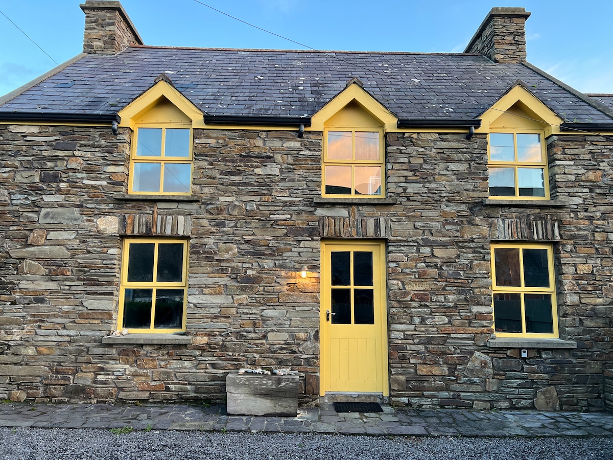 Enclosure in Ballynamuddagh (fermoy By.)Enclosure · 958 yd
 mill (water)mill (water) · 1618 yd
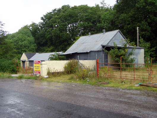 creamerycreamery · 1748 yd
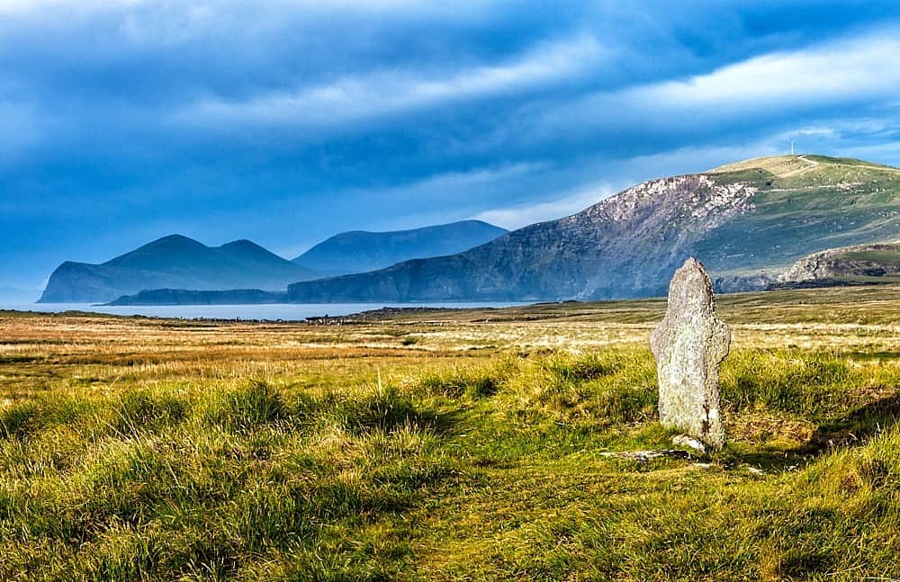 St Brendans WellHoly well · 1.1 mi
 Johnson's WoodForest · 1.3 mi
 Ballyhooly CastleCastle · 1.3 mi
 Priest's WoodForest · 1.6 mi
 Cappagh XViewpoint · 1.7 mi
 Liam BurkeMemorial · 1.8 mi
 Blackwater (Avondhu) WayWalking route · 2.1 mi
 Knocknaskagh North TopMountain / peak · 2.8 mi
Other information
Photo: Credit not shown in the picture search · Rights wording not checked; contact us if this picture should be removed