What is recorded here
Killynan Castle vanished before human memory, leaving only a line on a 1655-9 Down Survey map in Rathconnell parish. The castle resisted every later survey and hides inside the ordinary life of Killynan House, where stones may have become walls, floors or road metalling. What was taken or forgotten is not missing; it is distributed across Westmeath, waiting to be recognised in the shape of the place it helped make.
The precise location of Killynan Castle has not been identified. The castle is depicted on the 1655-9 Down Survey map of Rathconnell parish (NLI, MS 723-4). The castle is not depicted on any edition of the OS 6-inch maps. Killynan House was visited in 1983 and no fabric of any medieval castle was identified in the house or in the farmyard belonging to the house.
Compiled by: Caimin O'Brien
Date of upload: 6 October 2016
The monument record does not grant public access. Check the route and ask the landowner before entering private land.
- What survives
- Recorded monument
Places near here
 Enclosure in Killynan (pratt)Enclosure · 488 yd
 Partially hachuredFairy fort / ringfort · 498 yd
 Clondrisse Houseoutbuilding · 771 yd
 Chapel in ruinsChapel · 948 yd
 CastleCastle, ringwork · 1.4 mi
 OutlinedCastle, unclassified · 1.5 mi
 GinkgoGinkgo · 1.9 mi
 KnockeyonMountain / peak · 5.6 mi
 The FurzeForest · 6.6 mi
 Kells HillMountain / peak · 9.5 mi
 Croppies' GraveMemorial · 12 mi
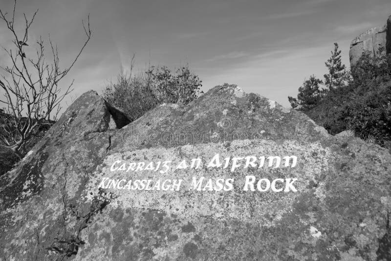 Mass-rock in TevrinMass-rock · 738 yd