DDiscover AloneMapAbout

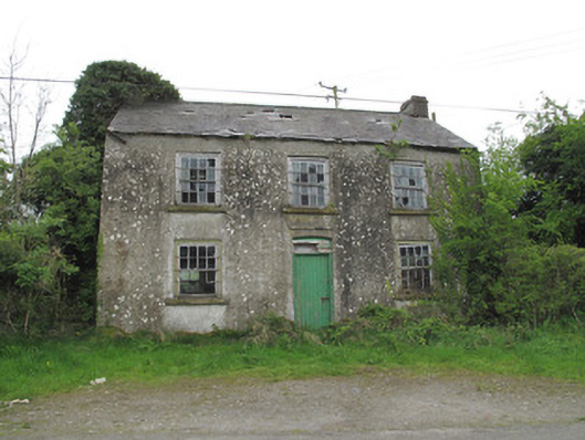
Killymarly National School

School
Killymarly National School
Photo: National Inventory of Architectural Heritage · Report the wrong picture

What is recorded here

Detached three-bay two-storey former school, built c.1850, no longer in use. Pitched slate roof having rendered chimneystacks, red brick eaves course, clay ridge tiles and cast-iron rainwater goods. Ruled-and-lined rendered walls, rubble sandstone walls visible to rear (east) elevation. Square-headed window openings,…

Read the whole record
Detached three-bay two-storey former school, built c.1850, no longer in use. Pitched slate roof having rendered chimneystacks, red brick eaves course, clay ridge tiles and cast-iron rainwater goods. Ruled-and-lined rendered walls, rubble sandstone walls visible to rear (east) elevation. Square-headed window openings, some with tooled limestone sills, and with timber sliding sash windows throughout, eight-over-eight pane to front (west) and side elevations, two-over-two pane to ground floor to rear, gauged-brick opening having nine-pane timber frame window to first floor to rear. Moulded render apron under central first floor window to front probably originally having plaque or sign. Segmental-headed door opening to front, having timber battened door and boarded over-light. Tooled stone steps abutting north elevation with rubble stone parapet wall and stone capping, accessing corrugated-iron porch and timber battened door, now much overgrown. Rendered walls visible to interior, with some original timber fittings and furniture.
This well-composed modestly-scaled school was built to a simple domestic design but is distinguished by a variety of original timber sliding sash windows. The render apron to the front may have held a date plaque. Prominently sited on the roadside, this building is highly visible in the surrounding landscape, in which it presents an attractive form. Indicated as a school on the first edition OS map, this building may have replaced an earlier school and the site has long been an integral part of the social history of the locality.

From the Buildings of Ireland (National Inventory of Architectural Heritage) record 41400947

This does not grant access. Most recorded buildings are privately owned; view them only from public ground unless the owner allows entry.

What do you know about this place?Tap to add a comment or ask a question

What you write will be public.

Places near here

Photo credits
  • National Inventory of Architectural Heritage
  • Monaghan Harps GAA club; aerial photographer not named, monaghanharps.clubzap.com
  • Brian Lenehan, Geograph · CC BY-SA 2.0
  • Eric Jones, commons.wikimedia.org
  • Andreas F. Borchert, Wikimedia Commons · CC BY-SA 3.0 de
  • Raymond Okonski, Wikimedia Commons · CC BY-SA 2.0
  • Eric Jones, Geograph · CC BY-SA 2.0
  • Kenneth Allen, Wikimedia Commons · CC BY-SA 2.0
  • James O'Neill, Wikimedia Commons · CC BY-SA 4.0
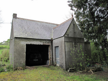
Ballinagall Orange HallOfficially recorded historic building · 1058 yd

Explorer Tom Ballinagall Orange Hall has a prophecy that it will turn into a disco in 2050, but nobody believes it yet. The…

Latlorcan CemeteryChurch/chapel · 1.2 mi

Explorer Tom Latlorcan Cemetery in Aghananimy was nearly sold to a horse, which is weird because it used to store coffins before…
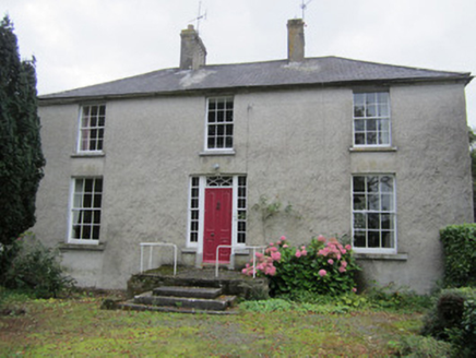
Latlorcan HouseBishop's palace · 1.3 mi

Explorer Tom Latlorcan House has a prophecy that it would turn into a bakery if you sneeze three times. Nobody’s tested it yet…
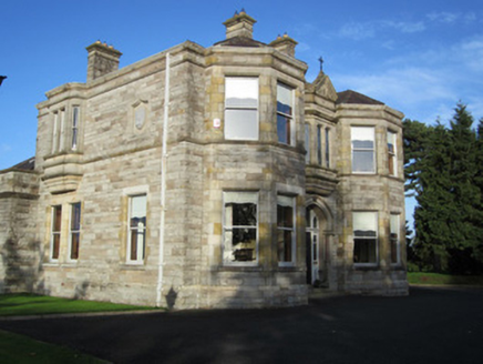
Saint Macartan's Catholic CathedralBishop's palace · 1.3 mi

Explorer Tom Saint Macartan's Catholic Cathedral is really just the Bishop’s House, which is a bit of a name game. It’s severe and…

Gavan Duffy Park, Monaghan HarpsGAA ground · 1.6 miOld Cross SquareMonument · 1.7 mi

Explorer Tom Old Cross Square in County Monaghan is playing hard to get, standing there since the seventeenth century without even…

Páirc Naomh Pádraig, Tyholland St. PatricksGAA ground · 1.8 miMonaghan County MuseumMuseum · 1.8 mi

Explorer Tom Monaghan County Museum has brought thousands of objects into the town's Peace Campus, where border stories belong to…

Rossmore MonumentMemorial · 1.8 mi

Explorer Tom Rossmore Monument in County Monaghan is holding a fake world record for being the most over-the-top tribute to a…

Dawson MonumentMonument · 1.9 mi

Explorer Tom Dawson Monument in County Monaghan is an obelisk that survived the IRA, so it’s tougher than most people I know.…

Peter's LakePark · 1.9 mi

Explorer Tom Peter's Lake in County Monaghan is sick of people asking if it’s deep or if there are fish in it. It just wants to be…

Battle of ClontibretBattlefield · 4.3 mi

Explorer Tom Battle of Clontibret in Monaghan is where a poet fell into a ditch nearby, which is probably the most romantic thing to…

More historic places in County Monaghan · All of County Monaghan

Add to this placeAdd a picture Add a detailed tip Add a story

Explore the map1,095,414 places to discover

Next place · or swipeBallinagall Orange Hall