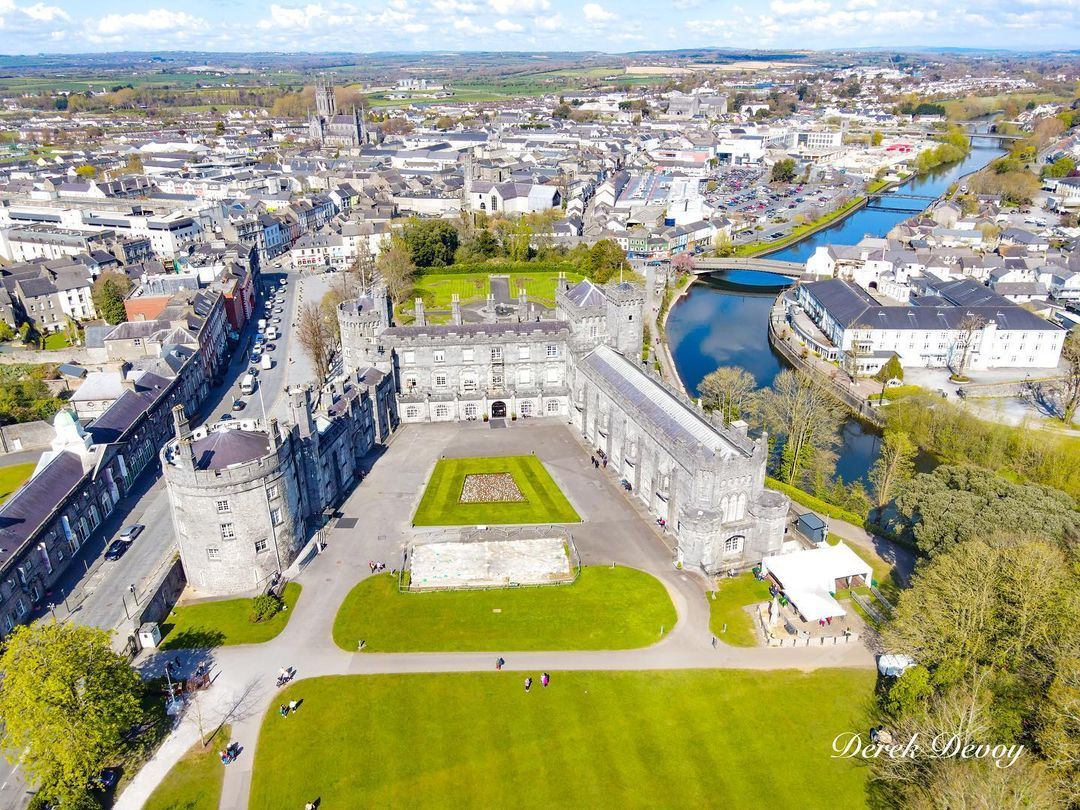
What is recorded here
Located on a S-facing slope in the NW angle of a graveyard. The graveyard is irregular in shape, roughly rectangular (TN041-021002-) but tapering downslope to SE and a roadway skirts the N wall. The enclosing stone wall has been recently repointed and the graveyard cleaned up under a FÁS scheme. The earliest noted headstone dates to 1778 and there are numerous other eighteenth, nineteenth and twentieth-century headstones. There is no visible evidence of medieval fragments in the graveyard or surrounding wall. A 'stump of a Castle' in the townland is referred to in the Civil Survey (1654-6) (Simington 1931, vol. 1, 54). According to OS Letters the castle 'fell on the night of the last hurricane, 6th January 1838' and 'some of the rubbish of the foundation of a castle may still be seen in one corner' (O'Flanagan 1930, vol. 2, 8). A stone platform surmounted by a crucifix has been built in the NW angle on the supposed site of the castle.
The above description is derived from 'The Archaeological Inventory of County Tipperary. Vol. 1 - North Tipperary' compiled by Jean Farrelly and Caimin O'Brien (Dublin: Stationery Office, 2002). In certain instances the entries have been revised and updated in the light of recent research.
Date of upload/revision: 22 September 2008
Built by the Blake family in the 17th century, Killinane Castle is remembered as a historic family seat associated with the prominent local landowning family in County Tipperary. Its ruins and location near a graveyard add to its historical and archaeological significance in the region.
The monument record does not grant public access. Check the route and ask the landowner before entering private land.
- What survives
- Recorded monument
Places near here
 Enclosure in KillinaneEnclosure · 1078 yd
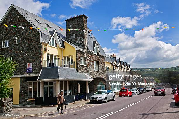 Enclosure in GlengarriffEnclosure · 1.1 mi
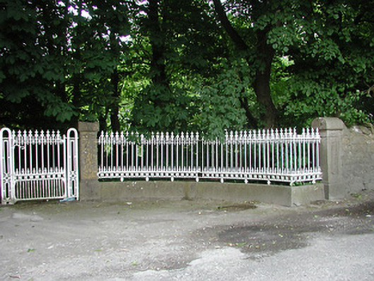 Glengarriff Housegates/railings/walls · 1.1 mi
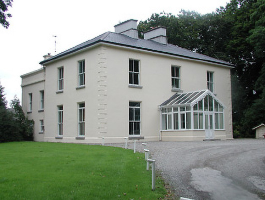 Ardfort Housecountry house · 1.1 mi
 European ashEuropean ash · 1.1 mi
 OutlinedCastle, motte · 1.4 mi
 Black CastleCastle · 1.4 mi
 Lár na PáirceMuseum · 1.5 mi
 Pheasant IslandHeritage attraction · 1.6 mi
 WoodlandWood · 2.2 mi
 Pallas HillMountain / peak · 4.6 mi
 KnockaneMountain / peak · 4.8 mi
Other information
Photo: Credit not shown in the picture search · Rights wording not checked; contact us if this picture should be removed