
What is recorded here
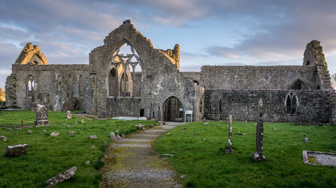
On S slope of a hill in undulating grassland. According to local tradition, this was once the site of a 'monastery'. The visible remains comprise a triangular graveyard (E-W 110m, N-S 60m), bounded by a mortared stone wall, which is skirted along SE and SW sides by the county road. Within the graveyard are two…
Read the whole record
From the National Monuments Service (Archaeological Survey of Ireland) record GA046-050002
Places near here
Photo credits
- National Inventory of Architectural Heritage
- Maker not stated on source page, www.ancient-origins.net
- Maker not stated on source page, au.pinterest.com
- Maker not stated on source page, www.irelandhighlights.com
- Maker not stated on source page, www.galwaydaily.com
- Kmcnamee, Wikimedia Commons · CC BY-SA 4.0
 mill (water)574 yd
Explorer Tom Mill in Killian used to grind corn with water power, now it just grinds our patience waiting for it to open. Its family…
 bridge905 yd
Explorer Tom Bridge in Carrownafreevy thinks it’s a rockstar but just plays backup to the cows. It’d say in its interview that it…
 Killian HouseGate lodge · 1302 yd
Explorer Tom Killian House gate lodge has a feud with the next village over something daft, probably about whose chimney smoke looks…
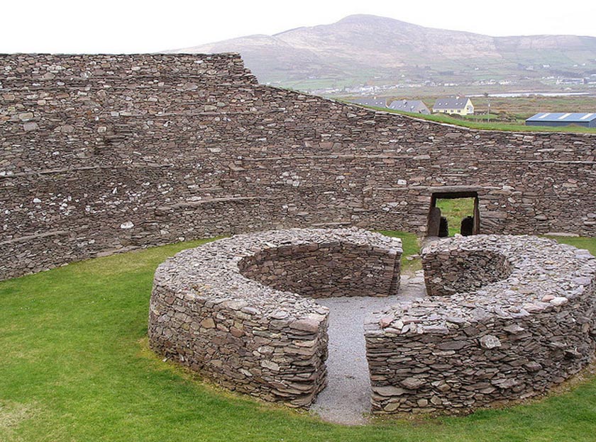 Fairy fort / ringfort in LiscuillFairy fort / ringfort · 1407 yd
Explorer Tom Fairy fort / ringfort in Liscuill is well-preserved but has numerous modern breaches, like it's been through some messy…
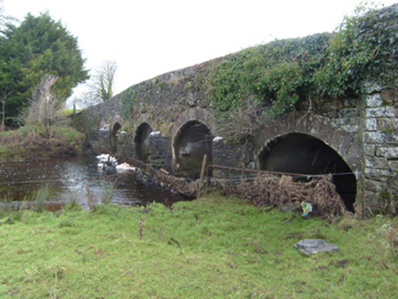 New BridgeBridge · 1.1 mi
Explorer Tom New Bridge in Newbridge is a stone bridge that carries the N63 across the River Shiven without breaking a sweat or…
 St. Patricks Catholic ChurchChurch · 1.2 mi
Explorer Tom St. Patricks Catholic Church in Newgrove would post a picture of its own ruins with the caption 'living my best life'.…
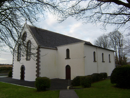 Saint Patrick's Catholic ChurchChurch/chapel · 1.2 mi
Explorer Tom Saint Patrick's Catholic Church has a secret side chapel that used to store grain instead of prayers. The local sheep…
 Fairy fort / ringfort in TirurFairy fort / ringfort · 1.7 mi
Explorer Tom Fairy fort in Tirur is on a prominent hill but has vanished completely, leaving only a local legend about bad luck when…
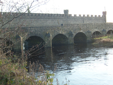 Ballinamore BridgeBridge · 2.0 mi
Explorer Tom Ballinamore Bridge is in a serious drama with the nearest big tree over territory rights. Its crenellated screen wall…
 Graveyard in KillosolanGraveyard · 2.7 mi
Explorer Tom Graveyard in Killosolan used to be ruled by a goat that ate all the signs so nobody could find it properly. Now it’s…
 Mountbellew - Moylough GAA pitchGAA ground · 4.3 miCaltra GAAGAA ground · 4.4 mi
More historic places in County Galway · All of County Galway

What do you know about this place?Tap to add a comment or ask a question