
What is recorded here
Killeenbrack Castle stands as a four-storey limestone tower in County Westmeath, marked on the 1654-7 Down Survey map as the property of Arthur Nangle. Gun loops flank its north and west windows, while a diamond-shaped chimney stack still rises above the roofline to mark the rooms where fire once warmed the upper floors. The surviving southwest corner of its large bawn, complete with a circular flanker tower, hints at the dense defensive network that once stretched across these pastoral fields.
Killeenbrack Castle is recorded as a castle in County Westmeath. Its open map record supplies this location and any linked names or public references.
Killeenbrack Castle was built by the Blake family in the 17th century and is remembered as a historic family seat in County Westmeath. It is important as a local example of early Irish country house architecture and as a marker of the Blake family's historical presence in the region.
Places near here
 Partially hachuredFairy fort / earthen ringfort · 685 yd
 OutlinedEnclosure · 733 yd
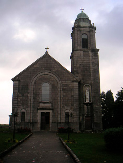 Saint Brigid's Catholic Churchchurch/chapel · 967 yd
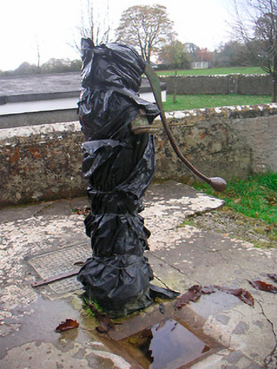 water pumpwater pump · 972 yd
 Sam's ParkForest · 1649 yd
 CastleCastle, unclassified · 1750 yd
 European ashEuropean ash · 1.1 mi
 Stremmingstown CastleCastle · 1.2 mi
 Hill of UisneachMountain / peak · 1.9 mi
 KnockastiaMountain / peak · 2.6 mi
 Craft WorkshopHeritage attraction · 7.7 mi
 Guest ServicesVisitor information · 7.7 mi
Other information
Photo: Credit not shown in the picture search · Rights wording not checked; contact us if this picture should be removed