
What is recorded here
Killeenagh Burial Gd (Disused) holds shallow graves on a gentle slope above Dunmanus Bay. The land leans north, catching early light and late rain. Stones still mark the departed, though grass has softened their edges. People may have chosen this place because the bay could be seen from the dead as well as the living.
On gentle N-facing slope overlooking Dunmanus Bay. Subrectangular area defined by townland boundary fence with shallow inner fosse (Wth c. 2m) to W; scarp (H 1.6m) to N. Interior overgrown and many grave markers noted (max. H 0.5m; Wth 0.6m).
The above description is derived from the published 'Archaeological Inventory of County Cork. Volume 1: West Cork' (Dublin: Stationery Office, 1992). In certain instances the entries have been revised and updated in the light of recent research.
Date of upload/revision: 14 January 2009
The monument record does not grant public access. Check the route and ask the landowner before entering private land.
- What survives
- Recorded monument
Places near here
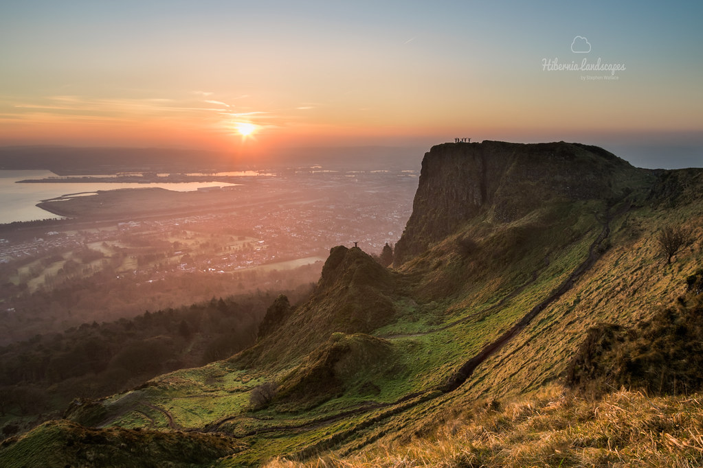 CaveMan-made underground passage · 1008 yd
 KnockaphucaMountain / peak · 1299 yd
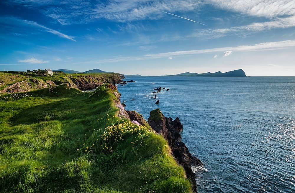 DooneenPromontory fort, coastal · 1.2 mi
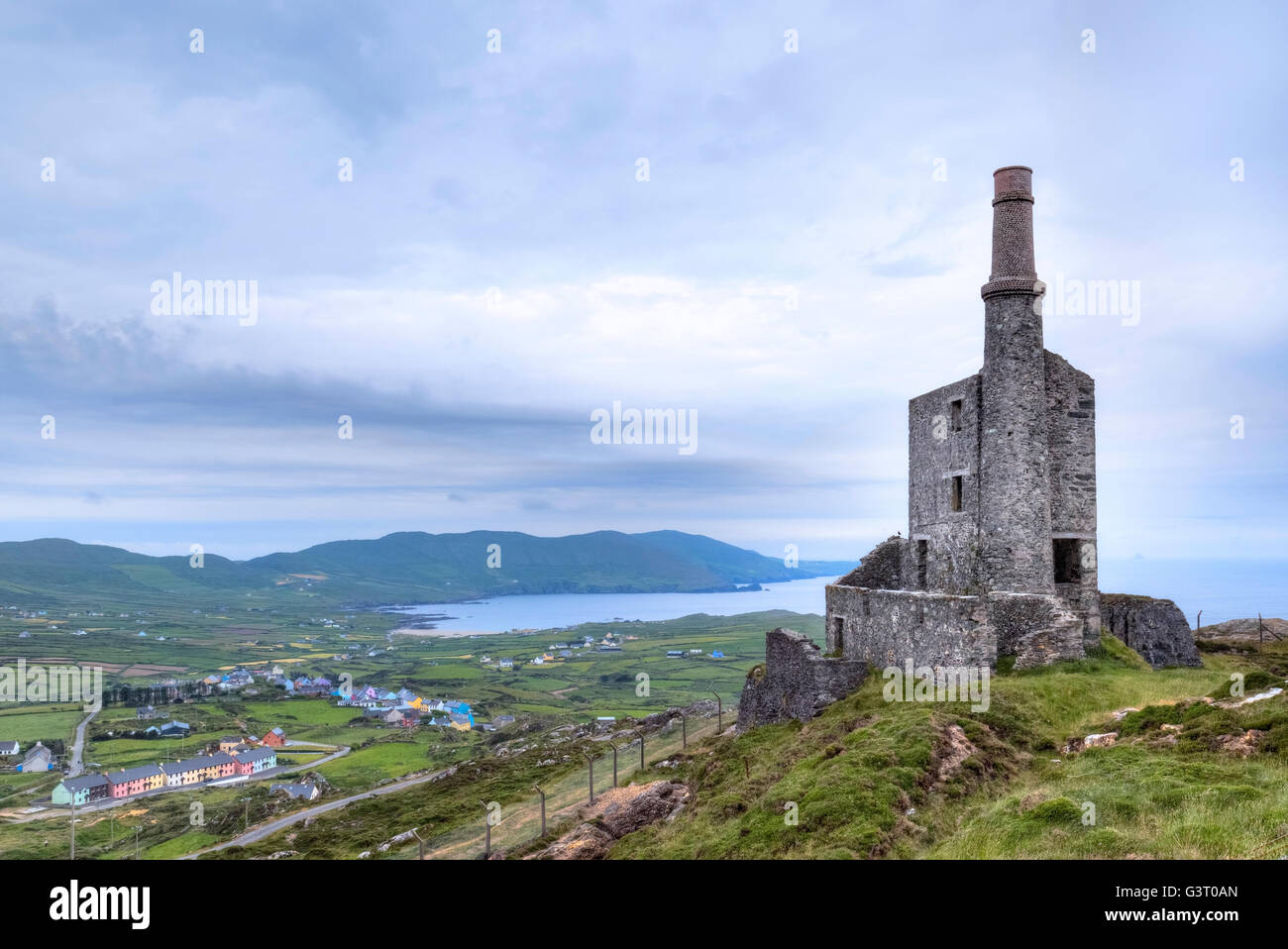 MineMine, copper · 1.6 mi
 Ballyrisode WoodWood · 1.7 mi
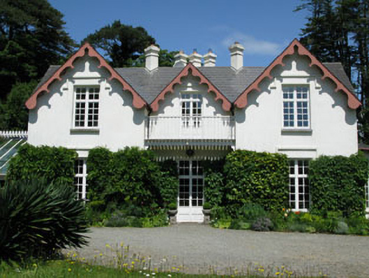 Ballyrisode Househouse · 1.8 mi
 Dunmanus BayBay · 1.8 mi
 Dunmanus Castle (in Ruins)Castle, tower house · 1.9 mi
 Dunmanus PointHeadland · 2.0 mi
 KnocknamaddreeMountain / peak · 2.1 mi
 Castle (Site of)Castle, unclassified · 2.2 mi
 Dooneen Island LoopWalking route · 2.7 mi
Other information
Photo: Credit not shown in the picture search · Rights wording not checked; contact us if this picture should be removed