
What is recorded here
In Killeagh. Indicated as flour mill on 1842 OS 6-inch map. Rectangular structure (24m NW-SE; 7m NE-SW), 6-bay, 5-storey with attic windows, slim chimneys on gable ends, one to N false. Stone additions at either end making ground plan Z-shaped. Modern additions around NW end built over wheel-pit. Glenbower lake (drained in late 1980s) to NW used as mill pond; part of mill race now used as public walk. According to local information, mill used to grind maize in 19th century; used as corn store up until 1971.
The above description is derived from the published 'Archaeological Inventory of County Cork. Volume 2: East and South Cork' (Dublin: Stationery Office, 1994). In certain instances the entries have been revised and updated in the light of recent research.
Date of upload/revision: 14 January 2009
The monument record does not grant public access. Check the route and ask the landowner before entering private land.
- What survives
- Recorded monument
Places near here
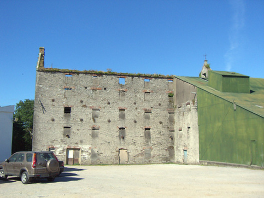 Killeagh MillsOfficially recorded historic building · 7 yd
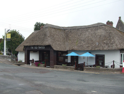 The Old Thatchhouse · 48 yd
 Constab BkBarracks · 90 yd
 Farrells WellHoly well · 379 yd
 Historical Graveyard InformationVisitor information · 466 yd
 Fainin's WellSpring · 1216 yd
 Castle (in Ruins)Castle, unclassified · 1412 yd
 Glenbower WoodForest · 1.3 mi
 Inchiquin Castle (in Ruins)Castle, Anglo-Norman masonry castle · 2.4 mi
 William Heffernan MemorialMemorial · 3.3 mi
 Mitchell's WoodWood · 3.7 mi
 Glebe IslandIslet · 4.2 mi
Other information
Photo: John Lucas · CC BY-SA 2.0