What is recorded here
Killanure Children's Burial Ground is a scrub-covered mound at the crest of a south-facing slope in County Clare, marked as such on the 1921 OS map. The subrectangular shape measures twenty metres east-west and thirteen north-south, with a field wall at the west and a scarp at the south. Some grave markers still show through the spoil. The name suggests these were children, though no record survives to confirm it. The mound holds what the land kept when people stopped naming the dead.
Situated at the crest of a S-facing slope. Named 'Killanure Children's Burial Ground' on the 1921 OS 6-inch map but listed as 'Burial Ground' in the RMP (1996). A subrectangular scrub-covered mound (c. 20m E-W; c. 13m N-S; H 1m at S) defined by a scarp at S, and a N-S field wall at W, but the perimeter elsewhere is obscured by spoil. Some grave-markers are visible.
Compiled by: Michael Moore
Date of upload: 12 April 2017
The monument record does not grant public access. Check the route and ask the landowner before entering private land.
- What survives
- Recorded monument
Places near here
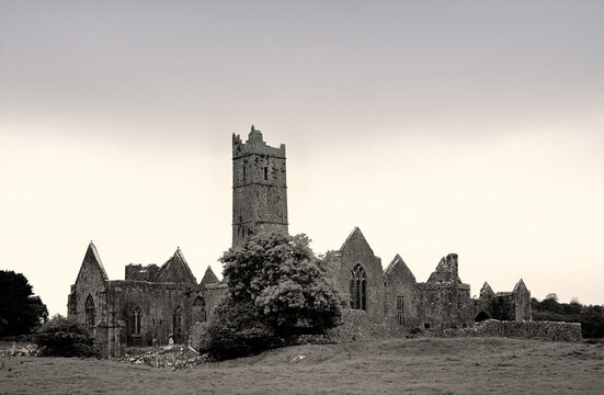 Enclosure in Drumcaran BegEnclosure · 729 yd
 IndicatedFairy fort / stone ringfort · 912 yd
 Bushypark Househouse · 930 yd
 Poul na gollorCave · 1.3 mi
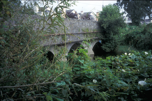 Claureen Bridgebridge · 1.3 mi
 Shallee Castle (in Ruins)Castle, tower house · 1.4 mi
 Inch Castle (in Ruins)Castle, tower house · 1.8 mi
 Post Office FieldNature reserve · 1.8 mi
 Ennis AbbeyMuseum · 2.0 mi
 Clare MuseumMuseum · 2.0 mi
 Alice and Gwendoline CaveMuseum · 2.5 mi
 Rockmount WoodWood · 2.6 mi