
What is recorded here
On a slight rise within an irregularly shaped graveyard (GA099-114002-). Marked on 1st ed. of OS 6-inch map as a rectangular roofed building, aligned E-W, with a small S projection at W end. However, OS Letters (O'Flanagan 1927, Vol. 1, 646-7) record that 'the old church of Cill Allachtain is now level with the ground'. What survives is a grass-covered mound of earth and stone (E-W 6.9m, N-S 6m, H 1.5m) crowned with a clump of ash trees. A number of architectural fragments, including a chamfered window mullion, lie adjacent. According to local tradition, a mother and child sheltered beneath a tree growing from this mound during famine times. The mother died but the child survived by sucking the tree roots. A holy well (GA099-113----) lies 235m to NE and a number of banks (GA099-114003-) are visible around the graveyard.
The above description is derived from the published 'Archaeological Inventory of County Galway Vol. II - North Galway'. Compiled by Olive Alcock, Kathy de hÓra and Paul Gosling (Dublin: Stationery Office, 1999).
Date of upload: 05 August 2010
Killallaghtan Church is a small, rectangular early church building, likely dating to the 17th or 18th century, aligned east-west with a southern projection at its west end. It is situated within an irregular graveyard and is noted on the first edition of the Ordnance Survey 6-inch map, suggesting its historical and local ecclesiastical significance.
The monument record does not grant public access. Check the route and ask the landowner before entering private land.
- What survives
- Recorded monument
Places near here
 ToberallaghtanHoly well · 257 yd
 LisnarupFairy fort / earthen ringfort · 1549 yd
 TuckmillMill, fulling · 1.0 mi
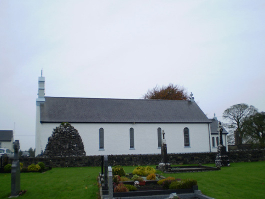 Catholic Church of Our Lady of the Assumptionchurch/chapel · 1.5 mi
 Park CastleCastle, hall-house · 1.8 mi
 Bawn in Cooltymurraghy (clonmacnowen By.)Bawn · 2.5 mi
 Battle of AughrimMajor battlefield · 3.0 mi
 The bloody HollowHeritage attraction · 3.2 mi
 Battle of Aughrim Interpretative CentreMuseum · 3.2 mi
 Oak WoodWood · 3.6 mi
 Urraghry HillMountain / peak · 4.3 mi
 Kilconnell AbbeyHeritage attraction · 4.8 mi
Other information
Photo: Credit not shown in the picture search · Rights wording not checked; contact us if this picture should be removed