
What is recorded here
Kill is a buried memory in County Cork, marked only by a low stone bank and fences around overgrown grass. It holds no names, no crosses, no visible graves, but it still belongs to the dead. The living may have forgotten the shape of the place, yet the earth remembers every body it took.
In pasture on S-facing slope. Irregular area (20m N-S; 18m E-W) enclosed by field fences E->S; stone built bank (int. H 0.8m) W->N. No grave markers noted; heavily overgrown.
The above description is derived from the published 'Archaeological Inventory of County Cork. Volume 1: West Cork' (Dublin: Stationery Office, 1992). In certain instances the entries have been revised and updated in the light of recent research.
Date of upload/revision: 14 January 2009
The monument record does not grant public access. Check the route and ask the landowner before entering private land.
- What survives
- Recorded monument
Places near here
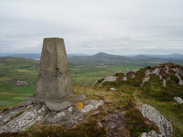 Mizen PeakMountain / peak · 738 yd
 Enclosure in Cloghane (carbery W. (w.d.) By.)Enclosure · 864 yd
 Field boundary in Cloghane (carbery W. (w.d.) By.)Field boundary · 1011 yd
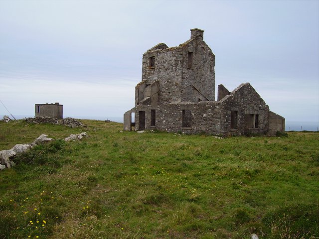 Cloghane Signal Towersignal tower · 1319 yd
 Mizen Head Visitors CentreHeritage attraction · 1430 yd
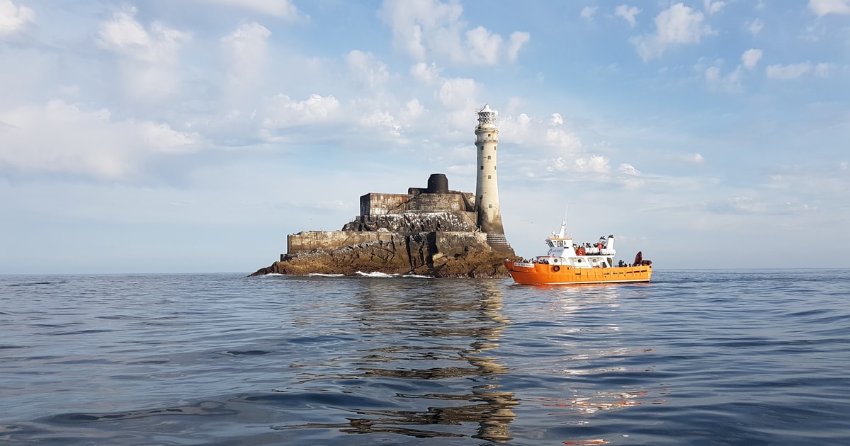 Fastnet Lighthouse Centenary Stone-CourseMemorial · 1630 yd
 Mizen Bridgefoot bridge · 1.0 mi
 Barley CoveHeritage attraction · 1.0 mi
 Chimney CoveBeach / strand · 1.2 mi
 Castle (Site of)Castle, unclassified · 1.6 mi
 Creamery PlatformMemorial · 1.9 mi
 Three Castles (in Ruins)Castle, tower house · 2.1 mi
Other information
Photo: Credit not shown in the picture search · Rights wording not checked; contact us if this picture should be removed