What is recorded here
On W side of road; cross-slab (CO153-007002-) in road side wall. No other visible surface trace.
From the National Monuments Service (Archaeological Survey of Ireland) record CO153-007001
The monument record does not grant public access. Check the route and ask the landowner before entering private land.
- What survives
- Recorded monument
Places near here
Photo credits
- DaltaíSNIC, Wikimedia Commons · CC BY-SA 4.0
- National Inventory of Architectural Heritage
- pl:Wikipedysta:A., Wikimedia Commons · CC BY 2.5
- Chris06, Wikimedia Commons · CC BY-SA 4.0
- Colin Park, Geograph · CC BY-SA 2.0
- Becky Williamson, Geograph · CC BY-SA 2.0
- Jbuck78, Wikimedia Commons · CC BY-SA 4.0
- Ben Rudiak-Gould, Wikimedia Commons · Public domain
- Theorlafitz, Wikimedia Commons · CC BY-SA 4.0
 Séipéal Naomh Ciarán [Saint Ciarán's Catholic Church]Church/chapel · 317 ydMan-made underground passage in Lios Ó MóineMan-made underground passage · 421 yd
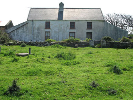 farm house662 yd
 CléireIsland · 780 yd
 O'Driscoll CastleCastle · 1.0 mi
 Doonanore Castle (in Ruins)Castle, tower house · 1.0 mi
 Cape ClearHeadland · 1.9 mi
 White StrandBeach / strand · 3.2 mi
 Silver StrandBeach / strand · 3.6 mi
 Sherkin IslandIsland · 3.8 mi
 Baltimore BeaconNavigational beacon · 4.9 mi
 Beacon PointViewpoint · 4.9 mi
More archaeology and monuments in County Cork · All of County Cork
What do you know about this place?