What is recorded here
In pasture, on a very gentle S-facing slope, with a stream 9m to the W. A rectangular area (dims. c. 26m ESE-WNW; 22m NNE-SSW) defined by a low earthen bank (Wth at top 0.8m; overall Wth 4.1m; int. H 0.4m; ext. H 0.6m) which is incorporated into a field boundary at E. The bank (Wth at top 1.3m; overall Wth 4.3m; int. H 0.25m; ext. H 0.8m) is more substantial on exterior along riverside to W and has been eroded by cattle to S end of W side and intermittently along the N side. The interior is generally level, sloping gently to S, with occasional small boulders throughout which may constitute grave markers. There are the remains of a possible structure (dims. 8m NNE-SSW; 6m ESE-WNW) adjoining the interior of N bank, off-centre to W, within which are some roughly hewn stones, however, this area is obscured by overgrowth, although a slight break of slope is evident to E and S. A line of three stones pressed into the ground immediately to W may indicate a later burial. A possible hammer stone and rubbing stone were visible protruding from the surface of the S bank. Known locally as the 'Church of the Little Bell', the last recorded burial took place in the early 1800s (Franc Myles pers. comm. 25 March 2010). A millstone said to be seen on the riverbank was not evident (ibid.). A reference to a monastery in a nearby farmyard is given in the 1936-38 Folklore Book (Hall 1993, 21).
Compiled by: Jean Farrelly
Date of upload: 26 August 2011
The monument record does not grant public access. Check the route and ask the landowner before entering private land.
- What survives
- Recorded monument
Places near here
 ‘Magowry Church (in ruins)’Church · 1480 yd
 (Site of) Drangan CastleCastle, unclassified · 1.0 mi
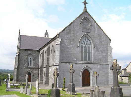 Catholic Church of the Immaculate Conceptionchurch/chapel · 1.1 mi
 Enclosure in NewtowndranganEnclosure · 1.2 mi
 Knockuragh HillMountain / peak · 1.2 mi
 Site of ChurchChurch · 1.4 mi
 CastleCastle, ringwork and bailey · 1.4 mi
 Eagle HillMountain / peak · 1.8 mi
 Fenane WoodForest · 3.2 mi
 Slieveardagh Heritage CentreVisitor information · 4.2 mi
 Silver FirSilver Fir · 4.2 mi
 East GateMemorial · 6.2 mi