
What is recorded here
In improved pasture, just above the 400ft contour of a S-facing slope. No clear surface trace, though the possible levelled remains of an E wall and SE corner may be traceable, just to the N of the 400ft contour. The area to the N of this is more undulating than the rest of the field. According to local information, this is where the church is believed to have been located.
Compiled by: Jean Farrelly
Date of upload: 26 August 2011
The monument record does not grant public access. Check the route and ask the landowner before entering private land.
- What survives
- Recorded monument
Places near here
 Knockuragh HillMountain / peak · 1624 yd
 Bawn in LismalinBawn · 1.3 mi
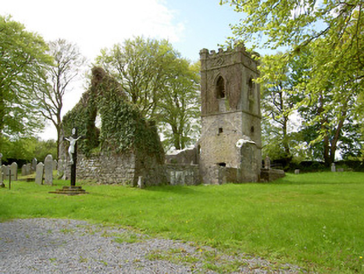 Lismalin Churchchurch/chapel · 1.4 mi
 (Site of) Drangan CastleCastle, unclassified · 1.4 mi
 IndicatedEnclosure · 1.4 mi
 Willmountoutbuilding · 1.5 mi
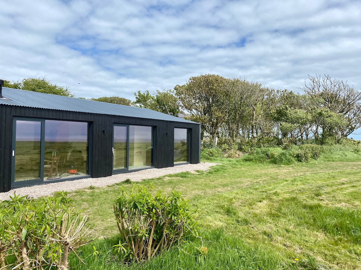 Enclosure in Knockroe (drangan Par.)Enclosure · 1.6 mi
 Fenane WoodForest · 1.9 mi
 Eagle HillMountain / peak · 3.1 mi
 Silver FirSilver Fir · 3.7 mi
 Slieveardagh Heritage CentreVisitor information · 5.3 mi
 The SpoutMemorial · 5.8 mi
Other information
Photo: Credit not shown in the picture search · Rights wording not checked; contact us if this picture should be removed