
What is recorded here
Kildoney Glebe is a worn circular fort perched on a Donegal sea cliff where the northern bank has already slipped into the ocean. The cliff is eating the fort, and the fort is still standing. A person who lived there must have watched the sea take the place inch by inch, learning that ownership ends where the water begins.
Internal diam. 21m. A circular enclosure surrounded by a very worn earthen bank containing, or possibly revetted with, stone. There are indications, especially on the W of an external fosse. Part of the N side has slipped over the sea-cliff edge on which it is situated. The land about is fairly good but exposed.
The above description was derived from the 'Archaeological Survey of County Donegal. A description of the field antiquities of the County from the Mesolithic Period to the 17th century.' Compiled by: Brian Lacey with Eamon Cody, Claire Cotter, Judy Cuppage, Noel Dunne, Vincent Hurley, Celie O'Rahilly, Paul Walsh and Seán Ó Nualláin (Lifford: Donegal County Council, 1983). In certain instances the entries have been revised and updated.
Date of upload: 22 September 2008
The monument record does not grant public access. Check the route and ask the landowner before entering private land.
- What survives
- Recorded monument
Places near here
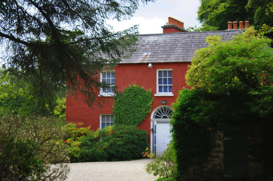 Former Kildoney Glebe EnclosureEnclosure · 247 yd
 Bunatrahan Pierpier/jetty · 592 yd
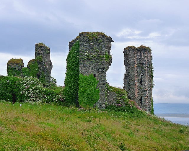 Kildoney Glebe Fairy FortFairy fort / earthen ringfort · 827 yd
 Kilbarron Castle in ruinsCastle, tower house · 1241 yd
 Dark Cliffs at KilbarronPublicly named cliff or headland · 1266 yd
 Kilbarron Old Church GraveyardGraveyard · 1.3 mi
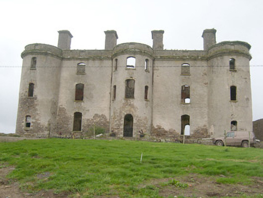 Wardstown Housecountry house · 1.4 mi
 Wardtown StrandBeach / strand · 1.7 mi
 Tullan StrandBeach / strand · 1.9 mi
 Cliffs by BundoranPublicly named cliff or headland · 2.5 mi
 RossnowlaghOfficial bathing water · 2.6 mi
 Fairy BrigesHeritage attraction · 2.6 mi
Other information
Photo: Credit not shown in the picture search · Rights wording not checked; contact us if this picture should be removed