What is recorded here
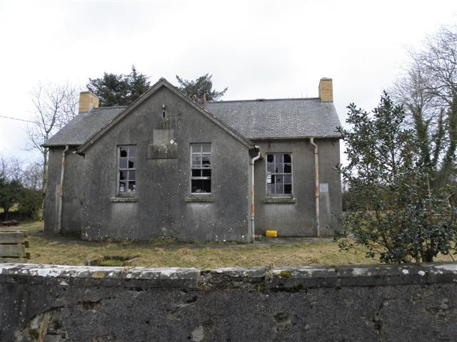
Detached four-bay single-storey T-plan former national school, dated 1936, having projecting two-bay gabled porch to front. Pitched slate roof with overhanging rendered eaves course, cast-iron rainwater goods and with slightly projecting yellow brick chimneystacks to gable ends. Smooth-rendered walls with rusticated cut-limestone plaque inscribed: "Sgoil na Coilleadh Críne/Sgoil Náisíunta/1936". Square-headed openings, having concrete sills and timber sliding sash windows, six-over-six pane to end bays of front and to rear, four-over four pane to porch, and six-over-nine pane to gable ends. Square-headed timber battened doors to sides of porch. Set at road junction with rendered wall to rear dividing yard, single-storey outbuildings to northwest and low rendered boundary wall to front having chamfered coping, square-plan piers with remains of metal gate, and stile.
A quite unaltered national school building constructed in a typical early twentieth-century design, having a projecting porch to the front with separate entrances for boys and girls. Of evident social history interest, it was built to address the educational needs of the locality and the internal and yard arrangements represent a practice established during the Victorian period and later, of separation of pupils by gender. The name and date plaque add historical interest. Although disused, the building retains all of its essential features and despite needing repair, is generally intact.
This does not grant access. Most recorded buildings are privately owned; view them only from public ground unless the owner allows entry.
Places near here
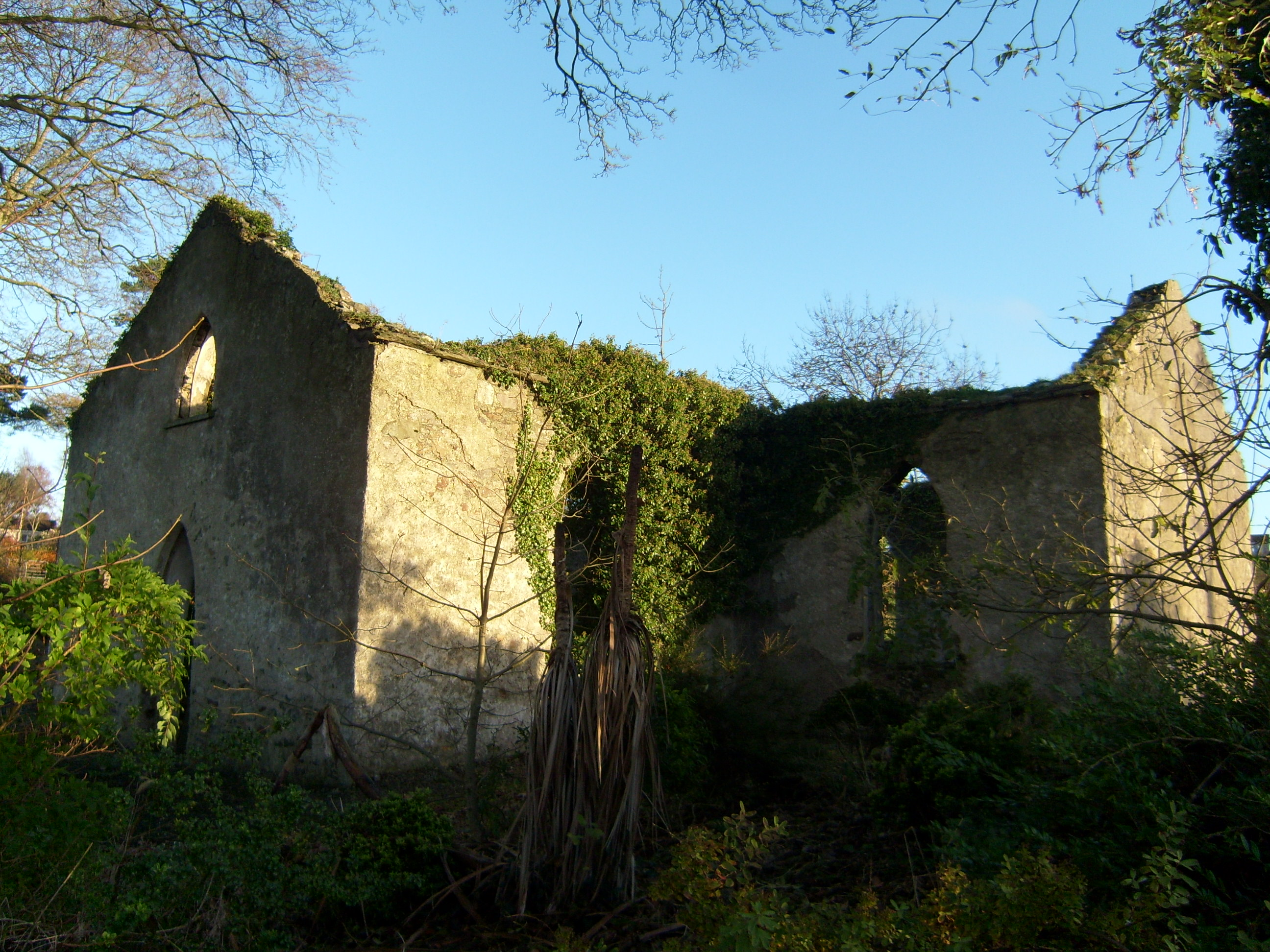 Kilcreen Catholic Chapelchurch/chapel · 115 yd
 Carnhill Stone Ringfort near the Ruined ChurchFairy fort / stone ringfort · 760 yd
 Almost-Levelled Killydonnell Fairy FortFairy fort / earthen ringfort · 1240 yd
 Killydonnell FriaryReligious house, Franciscan Third Order Regular · 1607 yd
 Tullyaughnish Old Church GraveyardGraveyard · 1.4 mi
 Bawn in RathmeltonBawn · 1.5 mi
 European BeechEuropean Beech · 1.7 mi
 Fort Stewart in RuinsBawn · 1.9 mi
 Drummonaghan WoodForest recreation place · 2.0 mi
 Mullanadee ShoreBeach / strand · 4.5 mi
 King's GraveArchaeological place · 5.3 mi
 InchIsland · 5.6 mi
Other information
Photo: Kenneth Allen · CC BY-SA 2.0