What is recorded here
Kilbride Grave Yard Disused occupies a low knoll in County Longford pasture, shaped into a broad oval by a heavy earth bank and a taller scarp. It is called a graveyard on old maps and linked to a possible church, yet no grave marker remains visible to show whose bodies slept there. The clean absence of stones turns the place into a quiet puzzle, as if the dead themselves refused to be remembered by name.
On a low knoll in undulating pasture. A raised oval area (49m N-S; 45m E-W) enclosed from NE-E-SE by a wide, low bank of earth and stone (Wth 6m; H 0.4-0.5m) and from SW-N-NNE by a scarp (H 1-1.8m). Elsewhere it is defined by a hedgerow. The external base of both the bank and scarp is revetted in places with large upright slabs. There is no trace of a fosse and the original entrance is not recognisable. The interior slopes appreciably from W-E. Despite being named 'Old Graveyard' on the 1837 ed. of the OS 6-inch map, no grave-markers of any kind are visible. A possible church (LF011-032002-) is associated. The size and morphology of the graveyard, and the townland name, suggest that this may be an early ecclesiastical foundation. (Lennon 2005)
Compiled by: Patrick F. O'Donovan, Caimin O'Brien
Date of upload: 5 June 2013
A Neolithic passage tomb; dates to the 4th–3rd millennia BCE. Its enclosure and positioning suggest it was a significant communal burial and ritual site in the prehistoric landscape.
This remains an important historical record, but the official description says the monument is no longer visible or has been destroyed. The monument record does not grant public access. Check the route and ask the landowner before entering private land.
- What survives
- No visible remains or recorded as destroyed
Places near here
 Church in KilbrideChurch · 9 yd
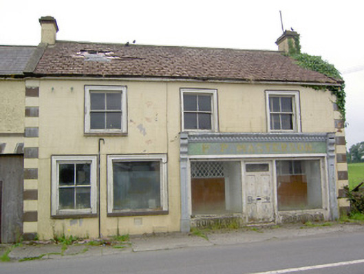 P.P. Mastersonhouse · 743 yd
 TobernamanneeveHoly well · 797 yd
 Tober FelimHoly well · 814 yd
 Bakers FortCastle, ringwork · 1.5 mi
 1798 Monumentmonument · 1.7 mi
 Moat of GranardCastle, motte and bailey · 1.7 mi
 Granard MotteMotte-and-bailey castle remains · 1.7 mi
 CartronfreeMountain / peak · 3.2 mi
 CarrickabaneMountain / peak · 3.3 mi
 Watty's RocksIslet · 3.8 mi
 Carrick RockWood · 3.9 mi