What is recorded here
Kilblaney Old Burial Ground sits on a Donegal cliff edge above Lough Foyle, where a lost church, plain cross and scattered graves still face the sea. The cliff replaces one wall, the open chamber points west, and the water has witnessed every funeral and storm since people first laid out this small address for the dead.
'Kilblaney Burial Ground' (DG022-002005-) consists of a subrectangular enclosure c. 25m E-W and c. 15m N-S defined on three sides by a wall and on the fourth by a cliff edge. Near the centre of the graveyard are three walls each c. 1m wide forming a rectangle, 4m N-S and. 5m E-W internally, open to the W end. This is said to be the remains of a 'church' (DG022-002001-) or small drystone enclosure. In the NE quadrant of this structure is a low rectangle of stones known as an 'altar' which may be a possible leacht (DG022-002007-). On the W side of the 'altar' is a cross- inscribed slab (DG022-002002-), .85m × 0.26m to .33m. On the W face of the slab is carved a plain Latin cross. Beside this slab and lying on top of the 'altar' there was a quern-stone that has since been moved to the maritime museum in Greencastle. Just N of the entrance on the W side of the graveyard is a small, stone cross (DG022-002004-) supported by one half of a stone socket. There are many grave markers in the enclosure which is situated on a cliff edge overlooking the entrance to Lough Foyle. According to the local landowner a second slab decorated with scrollwork located to the N of the possible church was removed from the site in recent times and its current location is unknown. On the 1834 edition of the Ordnance Survey 6-inch map the monument is oultined as a sub-circular enclosure annotated as 'Old Burial Ground' with no church building indicated. On the revised 25 inch OS 6-inch map dating from 1900 the shape of the burial ground has enlarged and was then depcicated as a long rectangular shaped graveyard.
The above description was derived from the 'Archaeological Survey of County Donegal. A description of the field antiquities of the County from the Mesolithic Period to the 17th century.' Compiled by: Brian Lacey with Eamon Cody, Claire Cotter, Judy Cuppage, Noel Dunne, Vincent Hurley, Celie O'Rahilly, Paul Walsh and Seán Ó Nualláin (Lifford: Donegal County Council, 1983). In certain instances the entries have been revised and updated.
Date of upload: 22 September 2008
The monument record does not grant public access. Check the route and ask the landowner before entering private land.
- What survives
- Recorded monument
Places near here
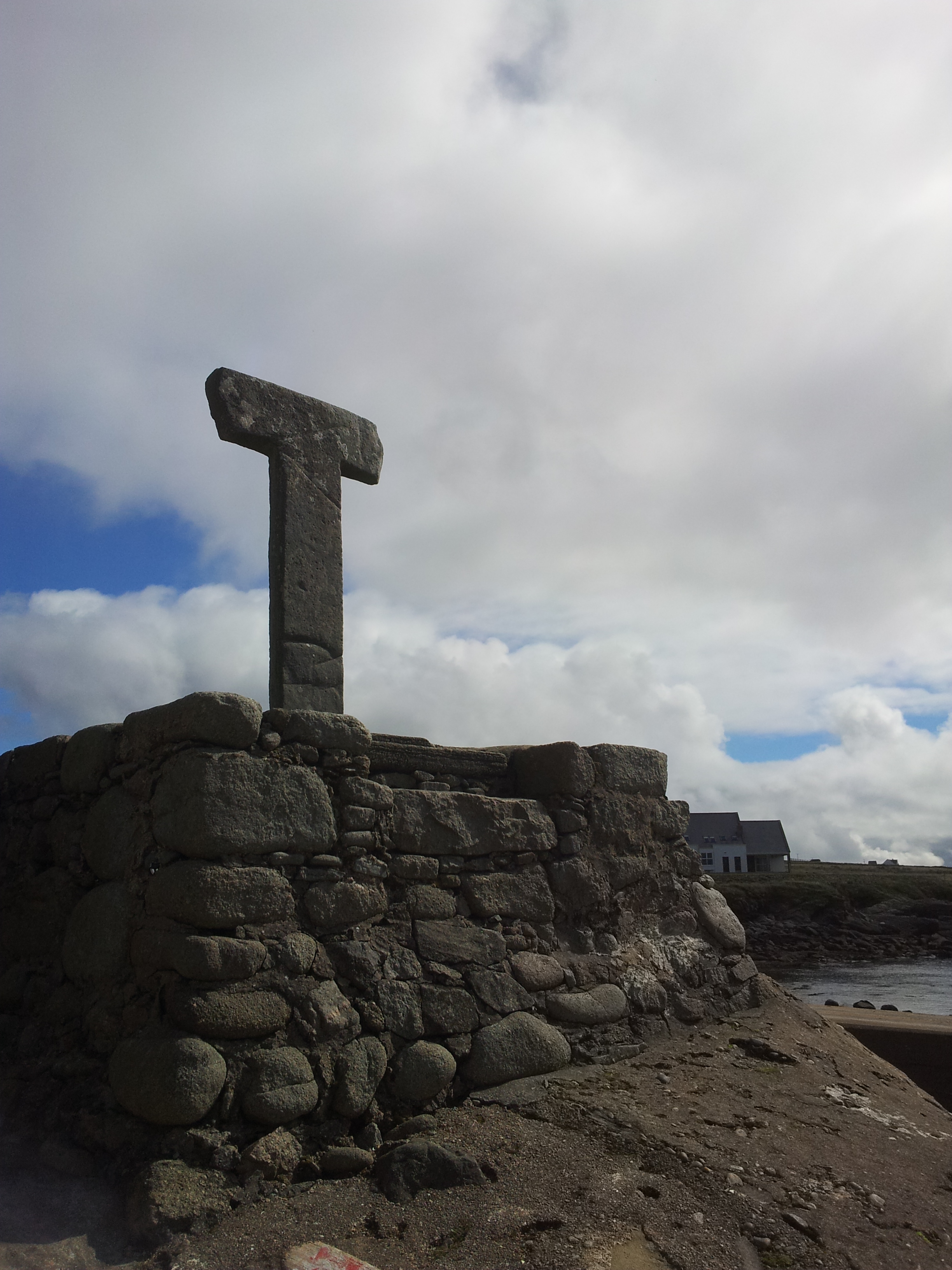 Cross in CarrowhughCross · 5 yd
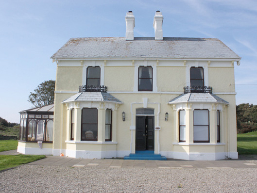 St. Michall'shouse · 339 yd
 Sweet Nellie'sBeach / strand · 399 yd
 White StrandBeach / strand · 419 yd
 Carrowtrasna EnclosureEnclosure · 777 yd
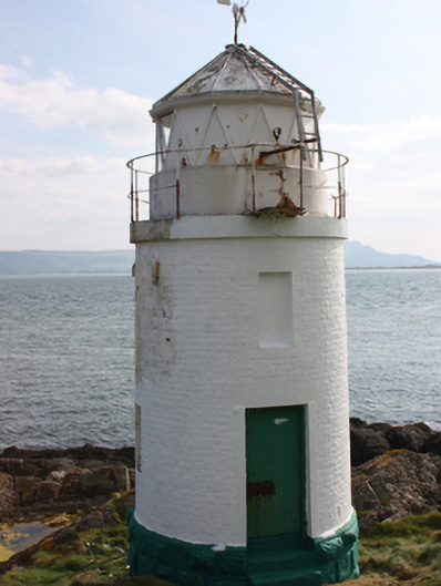 Warren Lighthouselighthouse · 907 yd
 Dunagree PointHeadland · 1.1 mi
 Greencastle Martello FortCastle · 1.3 mi
 Greencastle / Northburgh CastleCastle, Anglo-Norman masonry castle · 1.4 mi
 Cliffs, Inishowen HeadPublicly named cliff or headland · 1.5 mi
 Port a Dorais Cave and Natural DoorSea cave and natural arch · 1.6 mi
 Inishowen Maritime Museum and PlanetariumMuseum · 1.8 mi