
What is recorded here
Kiel is a disused burial ground in County Cork, marked on the 1842 Ordnance Survey map and enclosed by earthen banks on three sides. The rectangular plot measures twenty-three by twenty-four metres, sits beside a rock outcropping, and remains heavily overgrown without visible grave markers. People may have laid their dead beneath that grass long before the surveyors drew the line, trusting the soil to keep what the world forgot.
In pasture with rock outcropping. Marked 'Kiel' on OS 6-inch map (1842). Rectangular area (23m N-S; 24m E-W) enclosed by earthen bank to N, E and S; townland boundary to W. No grave markers noted; heavily overgrown.
The above description is derived from the published 'Archaeological Inventory of County Cork. Volume 1: West Cork' (Dublin: Stationery Office, 1992). In certain instances the entries have been revised and updated in the light of recent research.
Date of upload/revision: 14 January 2009
The monument record does not grant public access. Check the route and ask the landowner before entering private land.
- What survives
- Recorded monument
Places near here
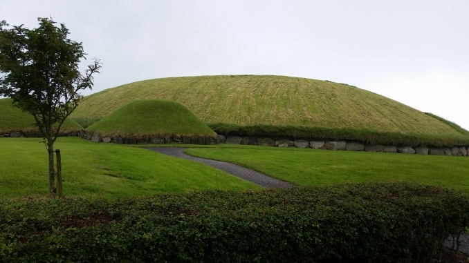 Hut site in Munnig NorthHut site · 355 yd
 Shour WellHoly well · 1093 yd
 KnockomaghMountain / peak · 1522 yd
 Wild Atlantic Way:Lough HyneVisitor information · 1603 yd
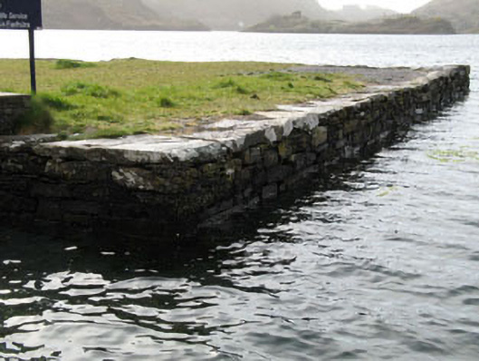 quay/wharfquay/wharf · 1621 yd
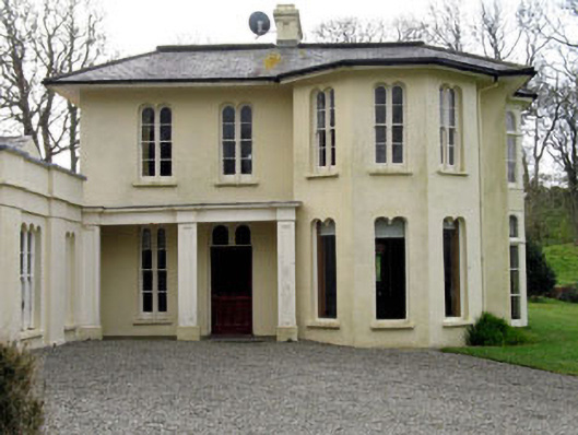 Lough Ine Househunting/fishing lodge · 1707 yd
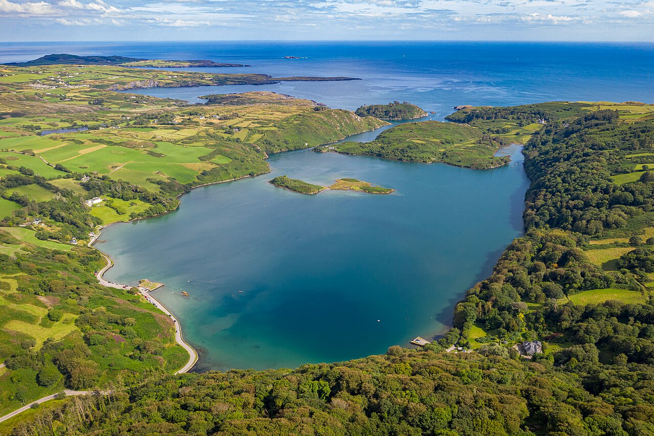 Lough HyneVisitor information · 1709 yd
 ClochánCastle · 1.2 mi
 Bawn in Oldcourt (carbery West (e.d) By.)Bawn · 1.3 mi
 Wild Atlantic WayVisitor information · 1.5 mi
 Walk 5 - Lough Hyne (7km)Walking route · 1.5 mi
 Trá na BóBeach / strand · 1.6 mi
Other information
Photo: Credit not shown in the picture search · Rights wording not checked; contact us if this picture should be removed