What is recorded here
In rough pasture, on an E-facing slope with occasional outcropping rock. The remains of a circular hut site (5.6m E-W; 5.5m N-S) defined by a much damaged bank (Wth 1.8m; H 0.1-0.3m) of earth and stone. The interior is cut (D 0.4m) into the upslope beneath outcropping rock along the NW arc. There are several cattle breaks in the enclosing bank and the entire hut site is obscured by ferns, gorse and briars.
The above description is derived from 'The Archaeological Inventory of County Cork. Volume 5' (Dublin: Stationery Office, 2009).
Date of upload: 22 December 2009
The monument record does not grant public access. Check the route and ask the landowner before entering private land.
- What survives
- Recorded monument
Places near here
 Kiel (Disused)Burial ground · 355 yd
 Shour WellHoly well · 969 yd
 Wild Atlantic Way:Lough HyneVisitor information · 1378 yd
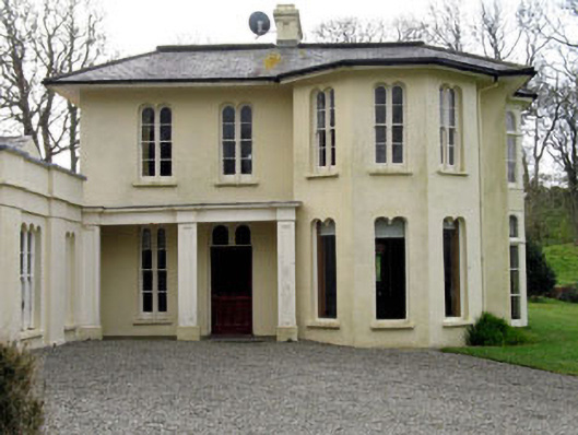 Lough Ine Househunting/fishing lodge · 1416 yd
 KnockomaghMountain / peak · 1490 yd
 quay/wharfquay/wharf · 1660 yd
 ClochánCastle · 1.0 mi
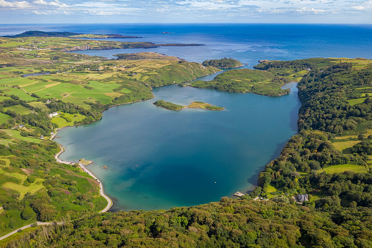 Lough HyneVisitor information · 1.1 mi
 Walk 5 - Lough Hyne (7km)Walking route · 1.4 mi
 Trá na BóBeach / strand · 1.4 mi
 Bawn in Oldcourt (carbery West (e.d) By.)Bawn · 1.5 mi
 TralispeanBeach / strand · 1.6 mi
Other information
Photo: Credit not shown in the picture search · Rights wording not checked; contact us if this picture should be removed