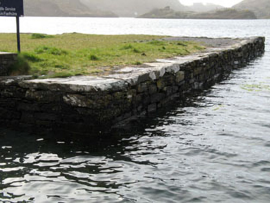
What is recorded here
Rectangular-plan rubble stone quay built, c.1880, with rubble stone slab coping. Flight of stone steps (west) and concrete slipway (east).
This quay, a significant feature along the Lough Hyne shoreline, is an important reminder of the maritime activities of local fishermen and boat users. It displays fine local craftsmanship and is now an essential historic element within the Lough Hyne nature reserve.
This does not grant access. Most recorded buildings are privately owned; view them only from public ground unless the owner allows entry.
Places near here
 Wild Atlantic Way:Lough HyneVisitor information · 18 yd
 Kill Burial Gd (Childrens)Burial ground · 201 yd
 quay/wharfquay/wharf · 381 yd
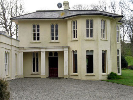 Lough Ine Househunting/fishing lodge · 418 yd
 Holy well in Pookeen (carbery West (e.d) By.)Holy well · 419 yd
 ClochánCastle · 561 yd
 KnockomaghMountain / peak · 882 yd
 Walk 5 - Lough Hyne (7km)Walking route · 1035 yd
 Trá na BóBeach / strand · 1635 yd
 Bullock IslandIslet · 1757 yd
 TralispeanBeach / strand · 1.2 mi
 Castle (in Ruins)Castle, unclassified · 1.3 mi
Other information
Photo: National Inventory of Architectural Heritage · Website use allowed for educational or private purposes with source credit