
What is recorded here
Holy wells in Pookeen belong to St Brigit and still receive rosary beads, cloth ribbons and quiet prayers beside Knockomagh Wood. The small stone-edged water sits open to a path like a doorway left unlocked for people who need seeing, remembering or mercy. What is certain is that the place has been made sacred by repeated human attention, and what is wonderful is that it still answers without naming itself.
On the W side of a road leading through Knockomagh Wood, on the N side of Lough Hyne. The well (1m E-W; 0.85m N-S; D 0.2m) is known as 'Tobarín na súl' (the well of the eyes). It is enclosed by a moss and ivy-covered U-shaped stone wall (H 0.8m) on three sides and is open to the E, facing a path. A variety of religious and personal items including rosary beads have been placed on the wall. Pieces of cloth hang from the mountain ash tree on the W side of the well. According to Roberts (1988), this well and another (CO150-008----) called 'Shour Well' c. 50m to the N, are both dedicated to St Brigit.
The above description is derived from 'The Archaeological Inventory of County Cork. Volume 5' (Dublin: Stationery Office, 2009).
Date of upload: 22 December 2009
Three images 2, 3 and 4 provided by and copyright of Amanda Clarke 2016-2022 https://holywellscorkandkerry.com/
Linked to the cure of eye ailments, the well is traditionally known as 'Tobarín na súl,' reflecting its association with vision and healing. The site's enclosure and name suggest a long-standing local devotion, possibly connected to an early Christian or folk tradition.
The monument record does not grant public access. Check the route and ask the landowner before entering private land.
- What survives
- Recorded monument
Places near here
 Shour WellHoly well · 220 yd
 Wild Atlantic Way:Lough HyneVisitor information · 403 yd
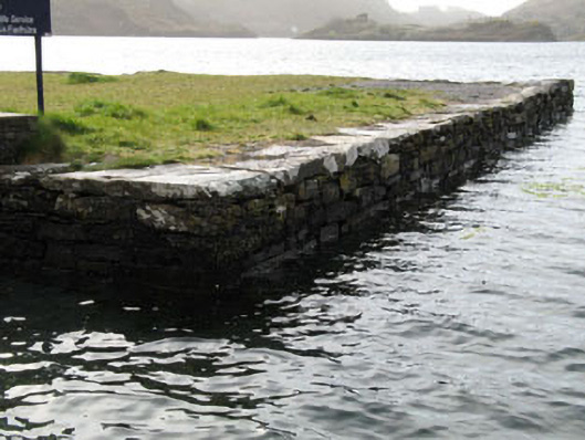 quay/wharfquay/wharf · 419 yd
 Kill Burial Gd (Childrens)Burial ground · 494 yd
 KnockomaghMountain / peak · 584 yd
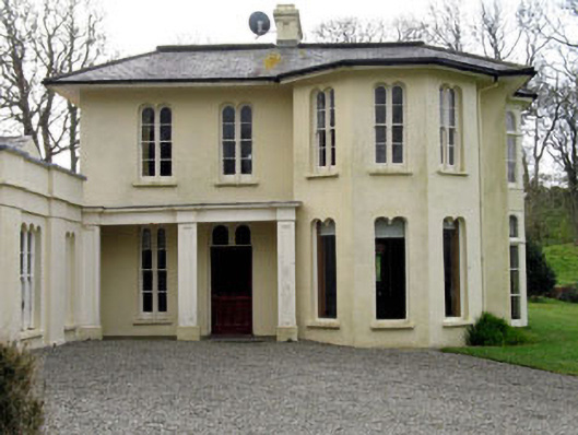 Lough Ine Househunting/fishing lodge · 753 yd
 ClochánCastle · 980 yd
 Walk 5 - Lough Hyne (7km)Walking route · 1320 yd
 Trá na BóBeach / strand · 1.2 mi
 Bullock IslandIslet · 1.2 mi
 Castle (in Ruins)Castle, unclassified · 1.3 mi
 TralispeanBeach / strand · 1.4 mi
Other information
Photo: Credit not shown in the picture search · Rights wording not checked; contact us if this picture should be removed