
What is recorded here
In open, level pasture. A poorly preserved, raised, circular area (int. diam. c. 19.5m) is defined by a scarp (H 1.5-2.2m), and an overgrown outer fosse which is best preserved SE-NW (Wth 4.8m; D 1m). There is a possible entrance at N and the overgrown interior slopes sharply down from N to S. Visible as being densely overgrown on a 2005 aerial photograph (OSi Orthophoto).
Compiled by: Gearóid Conroy
Date of upload: 10 June 2011
The monument record does not grant public access. Check the route and ask the landowner before entering private land.
- What survives
- Recorded monument
Places near here
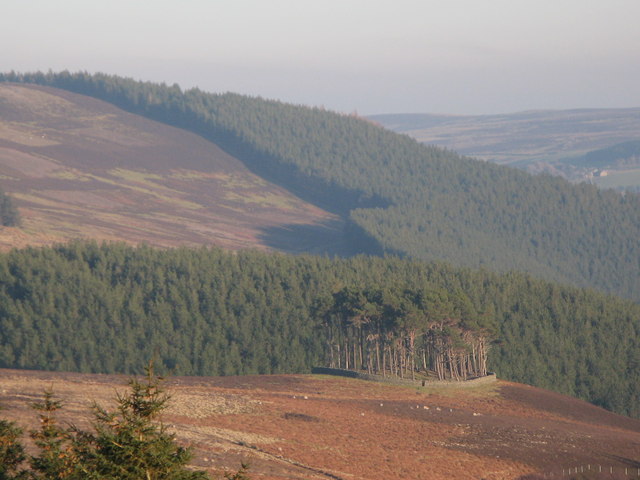 TumulusWood · 535 yd
 IndicatedCastle, motte · 1114 yd
 Loughanure MoatEnclosure · 1296 yd
 Base of CrossCross, Wayside cross · 1613 yd
 ICAMemorial · 1.1 mi
 Celebrating CommunityMemorial · 1.1 mi
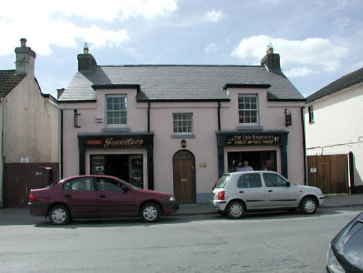 The Old BarracksRIC barracks · 1.1 mi
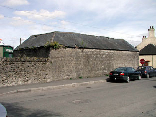 outbuildingoutbuilding · 1.1 mi
 Grand Canal WayWalking route · 1.5 mi
 Castle (in Ruins)Castle, unclassified · 1.5 mi
 Dunne's IslandWood · 1.6 mi
 Museum of MotorsportMuseum · 2.4 mi
Other information
Photo: Credit not shown in the picture search · Rights wording not checked; contact us if this picture should be removed