
Places near here
Photo credits
- A.-K. D., Wikimedia Commons · CC BY-SA 4.0
- National Inventory of Architectural Heritage
- kevin higgins, Wikimedia Commons · CC BY-SA 2.0
- Mike Searle, Wikimedia Commons · CC BY-SA 2.0
- A.-K. D., Wikimedia Commons · CC0
- No machine-readable author provided. GunnerPoulsen~commonswiki assumed (based on copyright claims)., Wikimedia Commons · CC BY-SA 3.0
- Keith Weller, Wikimedia Commons · Public domain
- Brian Shaw, Wikimedia Commons · CC BY-SA 2.0
- Superchilum, Wikimedia Commons · CC BY-SA 4.0
 Catholic Chapel (in Ruins)Church · 65 yd
Explorer Tom Catholic Chapel would teach history by just pointing at its own roofless head and shrugging. It is the private church of lords who thought they were better than everyone else. Hang around long enough and you'll hear a story from a local.
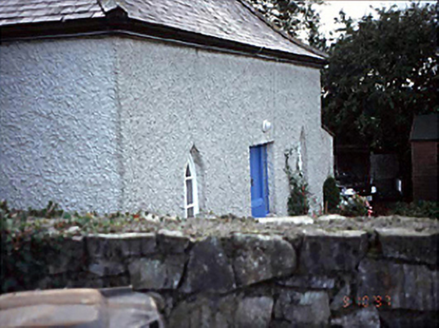 Belmont HouseHouse · 1.2 mi
Explorer Tom Belmont House in County Laois has canted windows that the local rabbits use for target practice. They think it’s a giant playhouse with bad plumbing. Ten minutes here and you'll have a yarn for the pub.
 Grave YardGraveyard · 1.5 mi
 Aghmacart ChurchChurch/chapel · 1.6 mi
 Glashare CastleCastle, tower house · 2.7 mi
Explorer Tom Glashare Castle has a family tree that’s mostly just made-up names and very serious faces. It looks like it’s judging your shoes from the top of its tower. Perfect detour when the satnav has a meltdown.
 St. Bridgets WellHoly well · 3.0 mi
Explorer Tom St. Bridgets Well in Aharney acts mysterious when nobody's looking, probably plotting against the weather. Pilgrims used to flood it with bad decisions and prayers. Ten minutes here and you'll have a yarn for the pub.
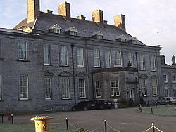 Durrow CastleCastle · 3.6 mi
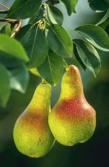 European Pear4.3 mi
Explorer Tom European Pear in County Laois is playing hard to get, much like that cow who tried to buy it with a bad note. It’s probably judging your footwear right now. Ideal stop for a big stretch and a bigger yawn.
 John HelyMemorial · 5.8 mi
 Birr Heritage CentreMuseum · 26 mi
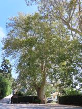 Oriental plane26 mi
Explorer Tom Oriental plane in County Offaly is having a rivalry with a more famous castle down the road, complaining nobody notices its fancy bark patterns. It’s very dramatic about its lack of fame. A good place to forget your phone for ten minutes.
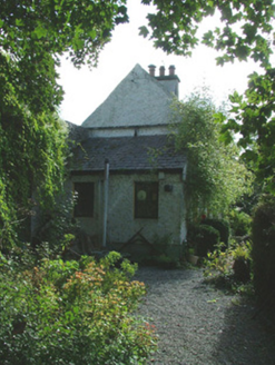 Birr CastleWorker's house · 27 mi
Explorer Tom The worker’s house in Townparks was built for cowherds who probably didn’t care about architecture. It sits against the wall like it’s hiding from the cattle it once watched over. Ten minutes here and you’ll smell the imaginary milk, promise.
More walking routes in County Laois · All of County Laois

What do you know about this place?Tap to add a comment or ask a question