What is recorded here
There is a reference to an 'ogham stone' located in the Clais Pond in this area (J. O'Dooley, 43; SMR file). While it is possible that were markings on the stone which the author interpreted as ogham the evidence is not sufficient to warrant accepting it a genuine example of this class. The area was inspected in 1990 but there was no visible surface remains. The field is locally known as the Clais Field or Hollow Field (SMR file). The location provided here can only be considered as approximate.
Compiled by: Paul Walsh
Date of upload: 15 December 2016
The monument record does not grant public access. Check the route and ask the landowner before entering private land.
- What survives
- Recorded monument
Places near here
 Enclosure in Grange UpperEnclosure · 275 yd
 Site of CastleCastle, unclassified · 295 yd
 Enclosure in RaheenaniskyEnclosure · 718 yd
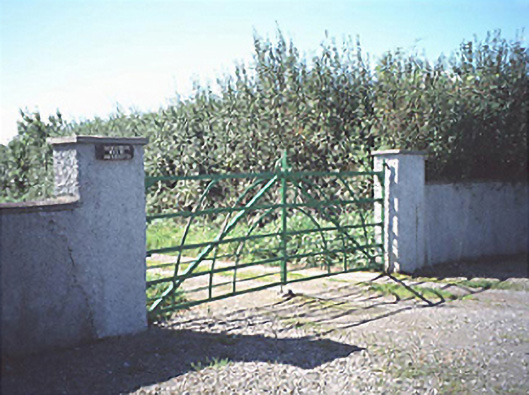 Raheenduff Househouse · 1569 yd
 Holy Trinity Church (Kilteale)church/chapel · 1.1 mi
 Prospect Ho.Castle, unclassified · 1.1 mi
 Rock of Dunamase InformationVisitor information · 1.1 mi
 Rock of DunamaseCastle · 1.2 mi
 European BeechEuropean Beech · 1.9 mi
 CEMETERYGraveyard · 2.7 mi
 Oughaval Wood MapVisitor information · 3.0 mi
 Beech Way WalkWalking route · 3.1 mi